Transport Functions
Rail
Road
Hub Profile
Place type
Populated place
Region
Rostov
Time zone
Europe/Moscow
Elevation
14 m
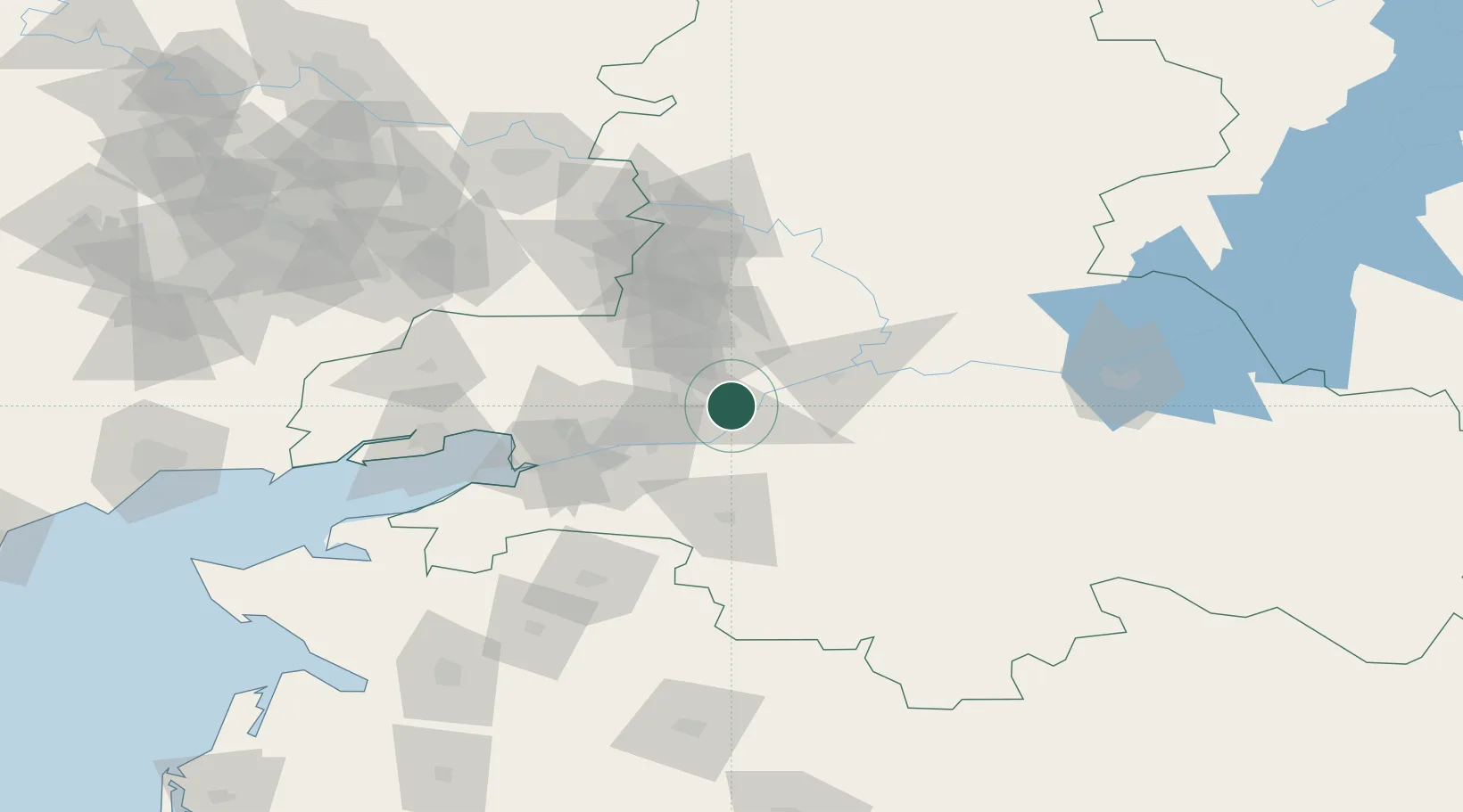
Location
Nearby Logistics Neighbours
Cities
- 1Bagaevskaya11 km
- 2Aksay37 km
- 3Novoshakhtinsk48 km
- 4Rostov-na-Donu49 km
- 5Kagal'Nitskaya61 km
Ports
- 1Rostov-Na-Donu52 km
- 2Azov75 km
- 3Taganrog105 km
- 4Yeysk172 km
- 5Mariupol211 km
Airports
- 1Platov International Airport31 km
- 2Rostov-on-Don Central Air Base53 km
- 3Taganrog Tsentralny Air Base113 km
- 4Taganrog Yuzhny Airport113 km
- 5Millerovo Air Base173 km
Trade Zones
DatabookThe Record of Consolidated Knowledge
Russia beyond logistics?