Transport Functions
Multimodal
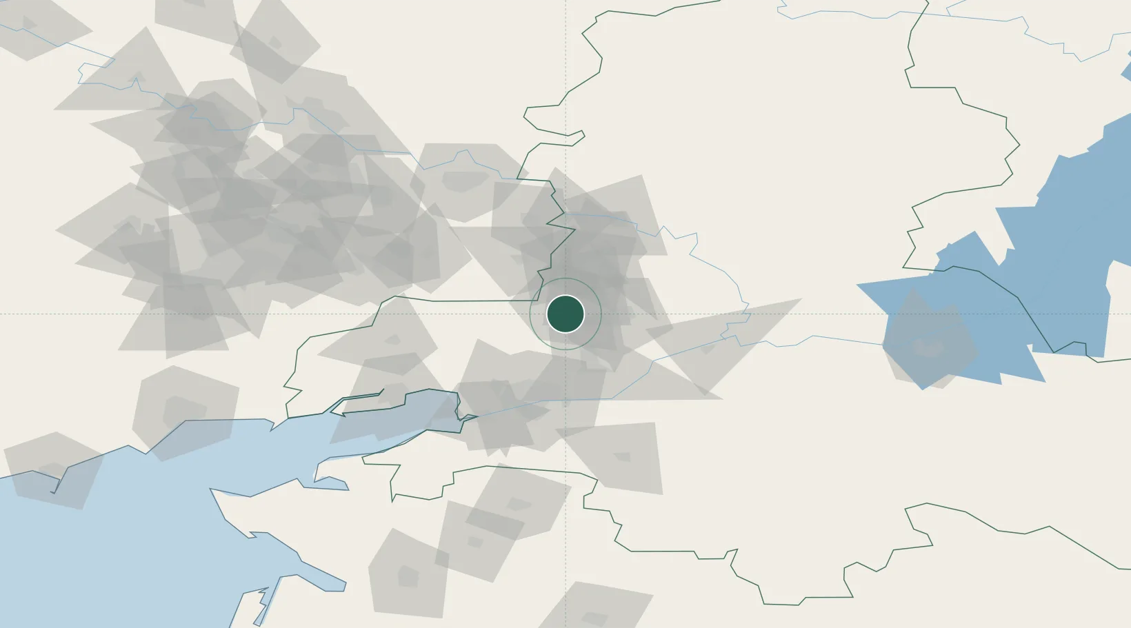
Hub Profile
Place type
Populated place
Region
Rostov
Population
99,478
Time zone
Europe/Moscow
Elevation
152 m
Location
Nearby Logistics Neighbours
Cities
- 1Dovzhansk41 km
- 2Bessergenevskaya48 km
- 3Aksay56 km
- 4Bagaevskaya59 km
- 5Rostov-na-Donu60 km
Ports
- 1Rostov-Na-Donu67 km
- 2Azov82 km
- 3Taganrog96 km
- 4Yeysk169 km
- 5Mariupol193 km
Airports
- 1Platov International Airport29 km
- 2Rostov-on-Don Central Air Base57 km
- 3Taganrog Tsentralny Air Base99 km
- 4Taganrog Yuzhny Airport102 km
- 5Millerovo Air Base137 km
DatabookThe Record of Consolidated Knowledge
Russia beyond logistics?