UN/LOCODE hub · Russia
RUAKS

Aksay

47.2500°, 39.8833°
38,871
Population
1
Transport functions

Transport Functions

Port
UN/LOCODE

Hub Profile

Place type
Provincial seat
GeoNames
Region
Rostov
GeoNames
Population
38,871
GeoNames
Time zone
Europe/Moscow
GeoNames
Elevation
90 m
GeoNames

Location

Location of RUAKS
Natural Earth 10m (public domain) · Rostov · RUAKS · 47.25, 39.88GoogleOSMYandex

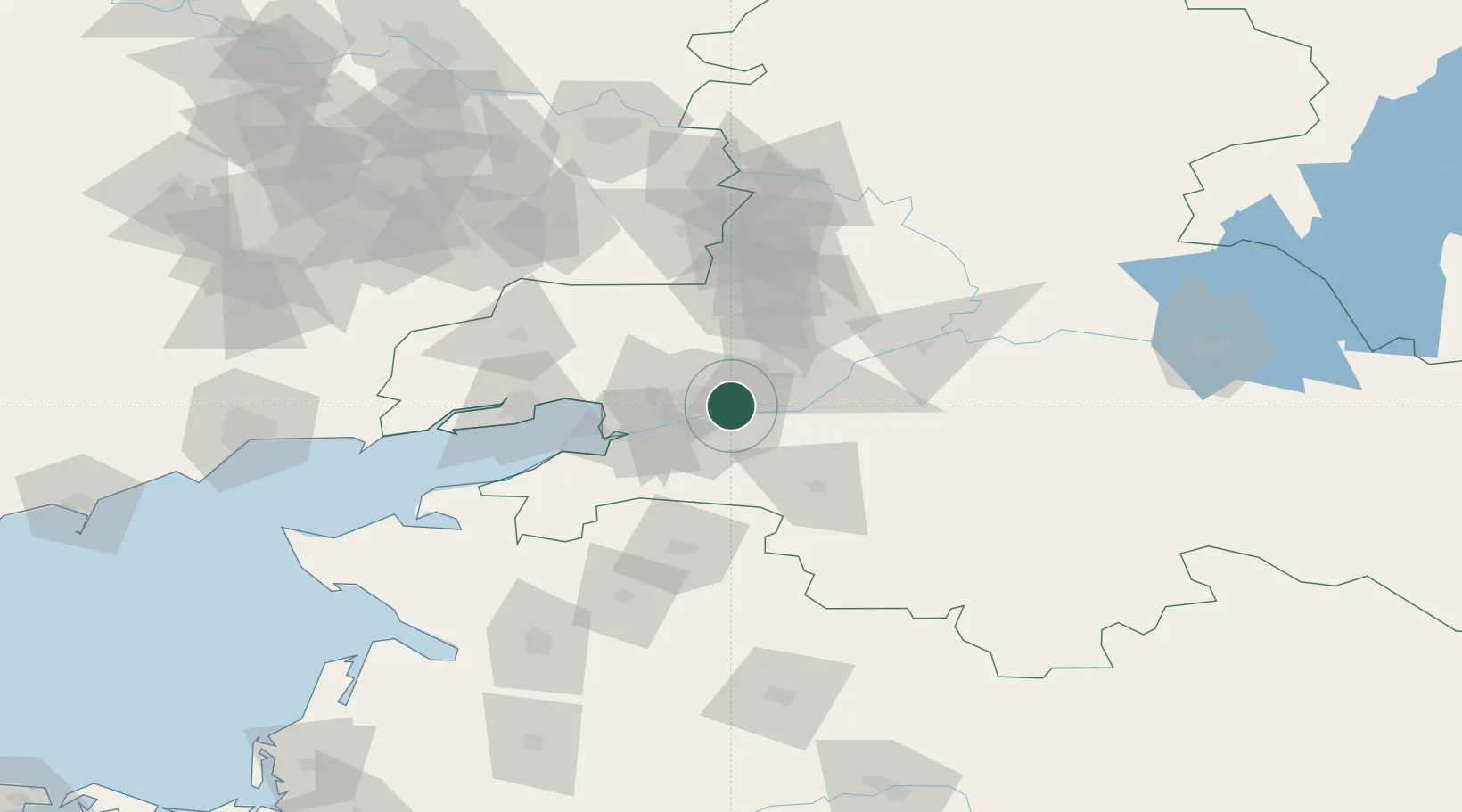
Nearby Logistics Neighbours

Cities
  1. 1Rostov-na-Donu13 km
  2. 2Bessergenevskaya37 km
  3. 3Bagaevskaya38 km
  4. 4Kagal'Nitskaya47 km
  5. 5Novoshakhtinsk56 km
Nearest neighbours — logibook spatial index (haversine) over the source coordinates
Ports
  1. 1Rostov-Na-Donu16 km
  2. 2Azov38 km
  3. 3Taganrog71 km
  4. 4Yeysk135 km
  5. 5Mariupol176 km
Nearest neighbours — logibook spatial index (haversine) over the source coordinates
Airports
  1. 1Rostov-on-Don Central Air Base19 km
  2. 2Platov International Airport27 km
  3. 3Taganrog Yuzhny Airport78 km
  4. 4Taganrog Tsentralny Air Base79 km
  5. 5Yeysk Airport142 km
Nearest neighbours — logibook spatial index (haversine) over the source coordinates
Trade Zones
  1. 1Azov Economic Zone175 km
  2. 2Special Economic Zone Donetsk188 km
  3. 3North Caucasus Resort Cluster387 km
  4. 4Kulevi Free Industrial Zone571 km
  5. 5Poti Free Industrial Zone581 km
Nearest neighbours — logibook spatial index (haversine) over the source coordinates
DatabookThe Record of Consolidated Knowledge
Russia beyond logistics?
Browse databook

All Sources

LocationsUN/LOCODE
UN/LOCODE — free
LocationsGeoNames
CC BY 4.0
Portsthe NGA World Port Index
Public domain (US gov)
AirportsOurAirports
Public domain
Trade Zonesthe World Bank SEZ database
CC BY 4.0
Trade ZonesOpen Zone Map
CC BY
← Russia locations