UN/LOCODE hub · Russia
RURND
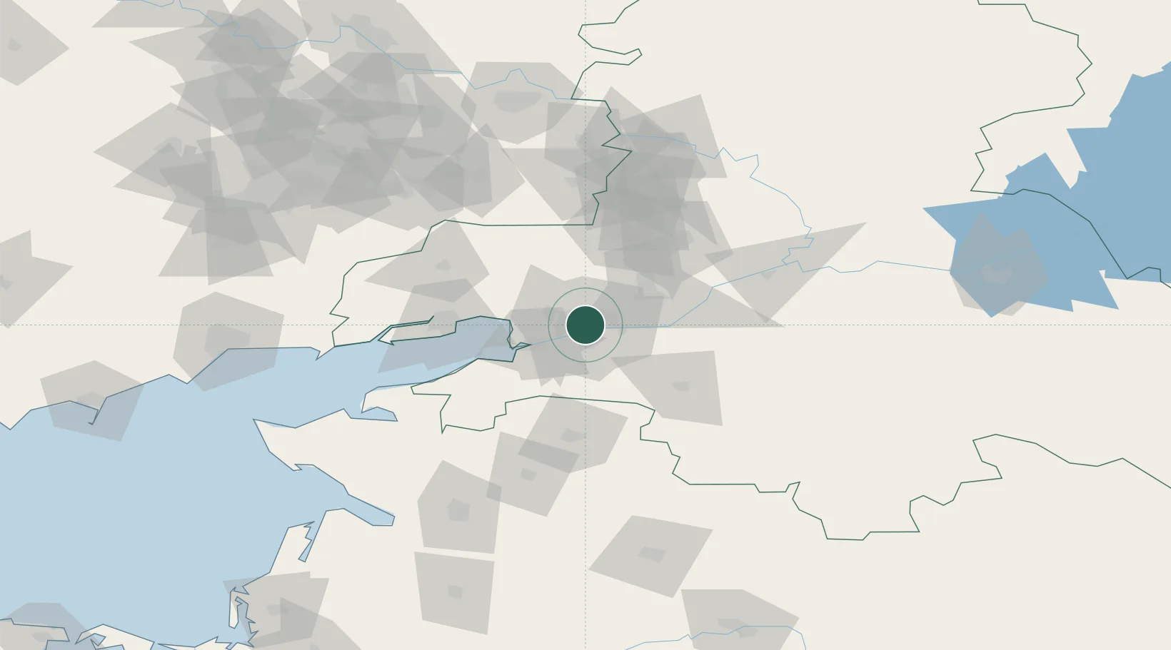
Rostov-na-Donu
47.2333°, 39.7167°
1,130,305
Population
2
Transport functions
Transport Functions
Port
Road
Hub Profile
Place type
Regional capital
Region
Rostov
Population
1,130,305
Time zone
Europe/Moscow
Elevation
54 m
Location
Nearby Logistics Neighbours
Cities
- 1Aksay13 km
- 2Bessergenevskaya49 km
- 3Bagaevskaya51 km
- 4Kagal'Nitskaya52 km
- 5Novoshakhtinsk60 km
Airports
Trade Zones
- 1Azov Economic Zone162 km
- 2Special Economic Zone Donetsk178 km
- 3North Caucasus Resort Cluster376 km
- 4Kulevi Free Industrial Zone572 km
- 5Poti Free Industrial Zone582 km
DatabookThe Record of Consolidated Knowledge
Russia beyond logistics?