Seaport · Russia

PevekRUPWE

69.7167°, 170.3000°
9.4 m
Channel depth
7.8
Port liner connectivity

Channel & Berth Profile

SEA LEVEL (CD)CHANNEL BEDCargo pier · 4.9 mOil terminal · 4.9 mChannel · 9.4 mAnchorage · 11.0 m
NGA World Port Index

Pilotage, Tugs & Services

Potable waterYES
MedicalYES
NGA World Port Index

Facilities & Capabilities

Container
Ro-Ro
Liquid bulk
Dry bulk
Oil terminal
Break bulk
Dry dock
RepairsNO
BunkeringYES
Rail link
Dangerous cargo
ISPS security
NGA World Port Index

Harbour Specifications

Harbour size
Very Small
NGA World Port Index
Harbour type
Coastal (Natural)
NGA World Port Index
Shelter
Good
NGA World Port Index
Water body
East Siberian Sea; Arctic Ocean
NGA World Port Index

Liner Connectivity

7.8
PLSCI

Port Liner Shipping Connectivity Index for Pevek, as published by UNCTAD for the latest available quarter. Higher values indicate stronger scheduled liner-shipping integration.

Shown relative to the highest per-port PLSCI in the dataset (1,657.9).
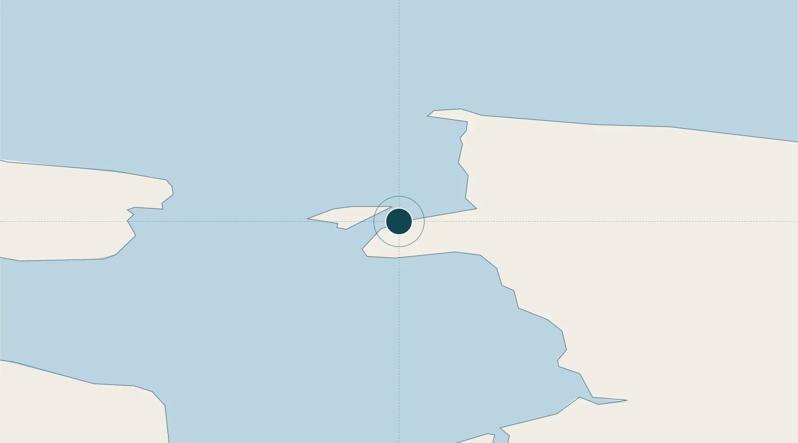
UNCTAD · Port Liner Shipping Connectivity Index

Location

Location of RUPWE
Natural Earth 10m (public domain) · Alaska · RUPWE · 69.72, 170.30GoogleOSMYandex

Nearby Logistics Neighbours

Ports
  1. 1Port Beringovsky841 km
  2. 2Bukhta Nagayeva (Magadan)1451 km
  3. 3Okhotsk Iy Reyd1707 km
  4. 4Alcan Harbor1898 km
  5. 5Petropavlovsk1946 km
Nearest neighbours — logibook spatial index (haversine) over the source coordinates
Cities
  1. 1Ust Chaun102 km
  2. 2Ambarchik309 km
  3. 3Khatyrka880 km
  4. 4Magadansky, Port1451 km
  5. 5Bukhta Ol'ga1748 km
Nearest neighbours — logibook spatial index (haversine) over the source coordinates
Airports
  1. 1Pevek Airport14 km
  2. 2Keperveem Airport267 km
  3. 3Cherskiy Airport369 km
  4. 4Markovo Airport562 km
  5. 5Ugolny Yuri Ryktheu Airport639 km
Nearest neighbours — logibook spatial index (haversine) over the source coordinates
Trade Zones
  1. 1Sovetskaya Gavan Free Zone2805 km
  2. 2Forest General Industrial Special Zone3222 km
  3. 3Sapporo Contents Special Zone3383 km
  4. 4Hokkaido Food Complex International Strategic Comprehensive Special Zone3386 km
  5. 5Semboku City Strategic Special Zone3757 km
Nearest neighbours — logibook spatial index (haversine) over the source coordinates
DatabookThe Record of Consolidated Knowledge
Russia beyond logistics?
Browse databook

All Sources

Portsthe NGA World Port Index
Public domain (US gov)
Logistics performanceUNCTAD
CC BY 3.0 IGO
AirportsOurAirports
Public domain
LocationsUN/LOCODE
UN/LOCODE — free
Trade Zonesthe World Bank SEZ database
CC BY 4.0
Trade ZonesOpen Zone Map
CC BY
← Russia ports