Transport Functions
Port
Hub Profile
Region
KAM
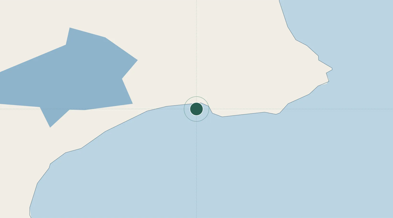
Location
Nearby Logistics Neighbours
Cities
- 1Petropavlovsk-Kamchatskiy235 km
- 2Ust-Kamchatsk493 km
- 3Dobrenice557 km
- 4Dolni Kounice564 km
- 5Wolfsberg im Schwarzautal637 km
Ports
- 1Petropavlovsk233 km
- 2Bukhta Nagayeva (Magadan)839 km
- 3Alcan Harbor876 km
- 4Kiska1127 km
- 5Okha1185 km
Airports
- 1Sharomy Air Base194 km
- 2Ust'-Kamchatsk Airport212 km
- 3Yelizovo Airport233 km
- 4Avachinskiy Heliport236 km
- 5Palana Airport509 km
Trade Zones
DatabookThe Record of Consolidated Knowledge
Russia beyond logistics?