Transport Functions
Port
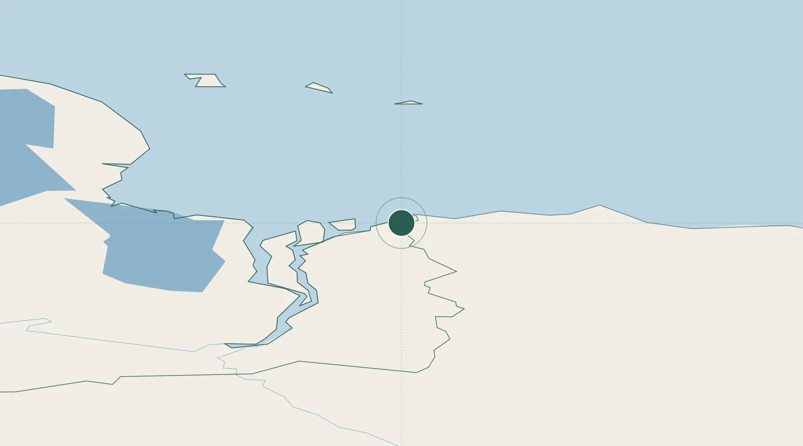
Hub Profile
Place type
Populated place
Region
Sakha
Time zone
Asia/Magadan
Elevation
24 m
Location
Nearby Logistics Neighbours
Cities
- 1Ust Chaun336 km
- 2Khatyrka1023 km
- 3Magadansky, Port1242 km
- 4Bukhta Ol'ga1676 km
- 5Petropavlovsk-Kamchatskiy1854 km
Ports
- 1Pevek309 km
- 2Port Beringovsky1047 km
- 3Bukhta Nagayeva (Magadan)1242 km
- 4Okhotsk Iy Reyd1448 km
- 5Petropavlovsk1852 km
Airports
- 1Cherskiy Airport105 km
- 2Keperveem Airport251 km
- 3Pevek Airport320 km
- 4Srednekolymsk Airport421 km
- 5Omolon Airport492 km
Trade Zones
DatabookThe Record of Consolidated Knowledge
Russia beyond logistics?