Transport Functions
Port
Hub Profile
Place type
Populated place
Region
Chukotka
Population
375
Time zone
Asia/Anadyr
Elevation
12 m
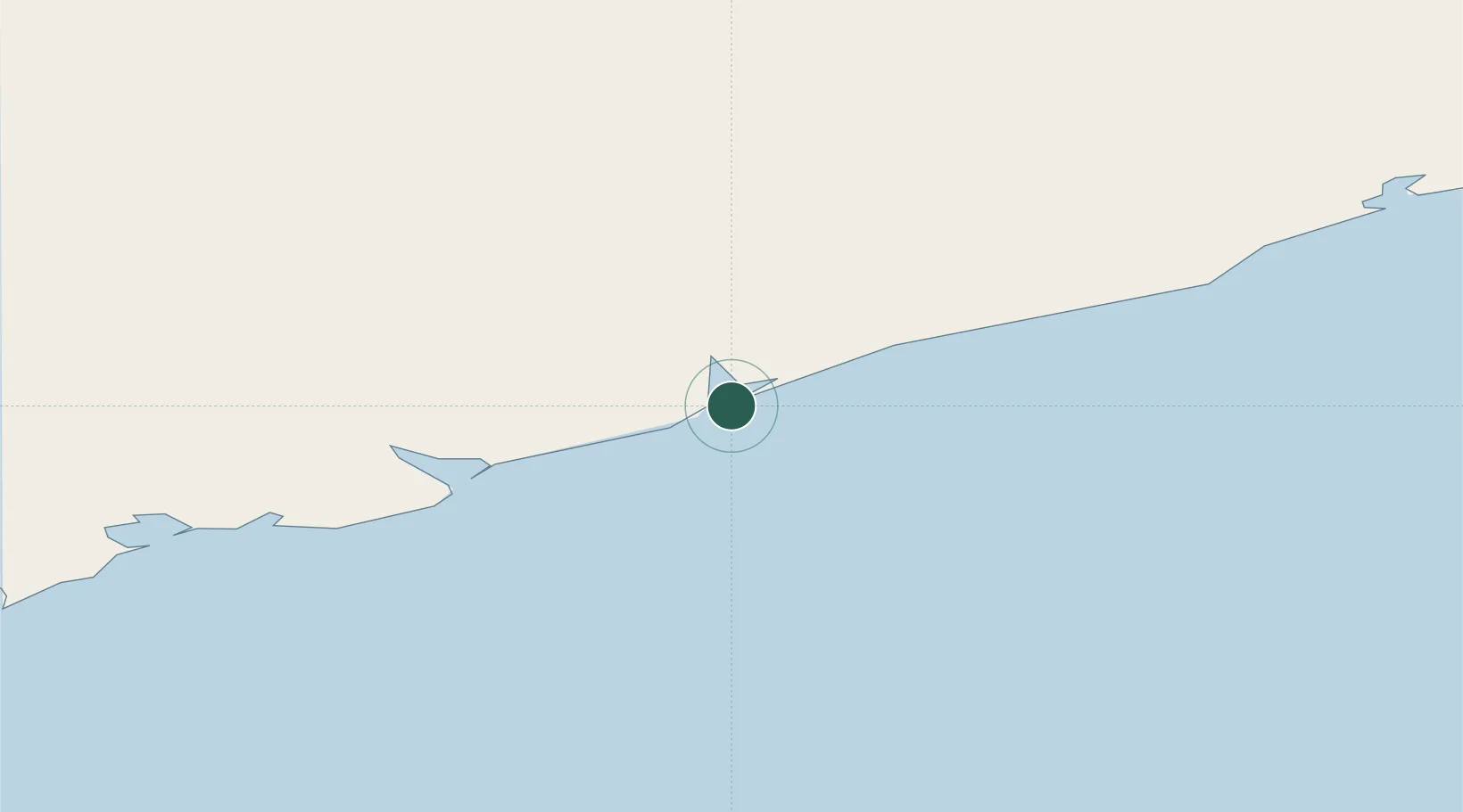
Location
Nearby Logistics Neighbours
Cities
- 1Ust Chaun780 km
- 2Margonin1013 km
- 3Ambarchik1023 km
- 4Zagorow1101 km
- 5Kiska Harbour1131 km
Ports
- 1Port Beringovsky236 km
- 2Pevek880 km
- 3Alcan Harbor1040 km
- 4Kiska1131 km
- 5Bukhta Nagayeva (Magadan)1353 km
Airports
- 1Ugolny Yuri Ryktheu Airport321 km
- 2Markovo Airport378 km
- 3Chaybukha Airport770 km
- 4Keperveem Airport772 km
- 5Omolon Airport807 km
Trade Zones
DatabookThe Record of Consolidated Knowledge
Russia beyond logistics?