UN/LOCODE hub · Russia
RUMAG
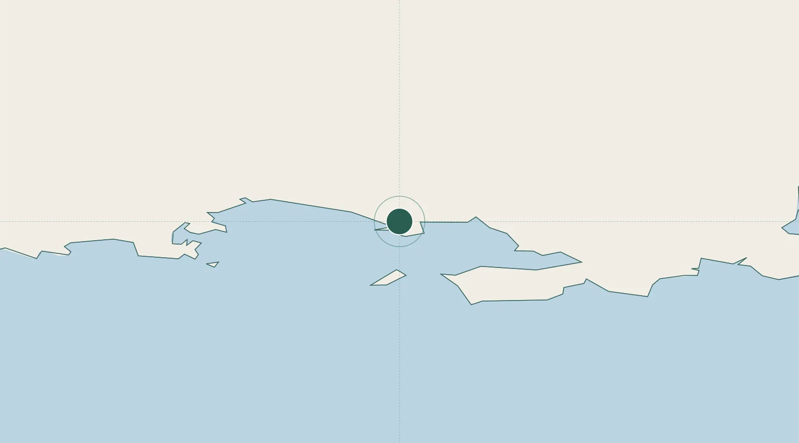
Magadansky, Port
59.5639°, 150.7261°
1
Transport functions
1
Container terminals
Transport Functions
Port
Hub Profile
Logistics facilities
1
Container terminals
1
Location
Nearby Logistics Neighbours
Cities
- 1Okha, Sakhalin817 km
- 2Bukhta Ol'ga838 km
- 3Petropavlovsk-Kamchatskiy874 km
- 4Widuchowa877 km
- 5Dobrenice927 km
Ports
- 1Okhotsk Iy Reyd426 km
- 2Okha818 km
- 3Moskal Vo833 km
- 4Petropavlovsk873 km
- 5Nikolayevsk Na Amur942 km
Airports
- 1Magadan-13 Airport13 km
- 2Sokol Airport39 km
- 3Susuman Airport382 km
- 4Seymchan Airport384 km
- 5Omsukchan Airport420 km
Trade Zones
DatabookThe Record of Consolidated Knowledge
Russia beyond logistics?