Seaport · Russia
PetropavlovskRUPKC
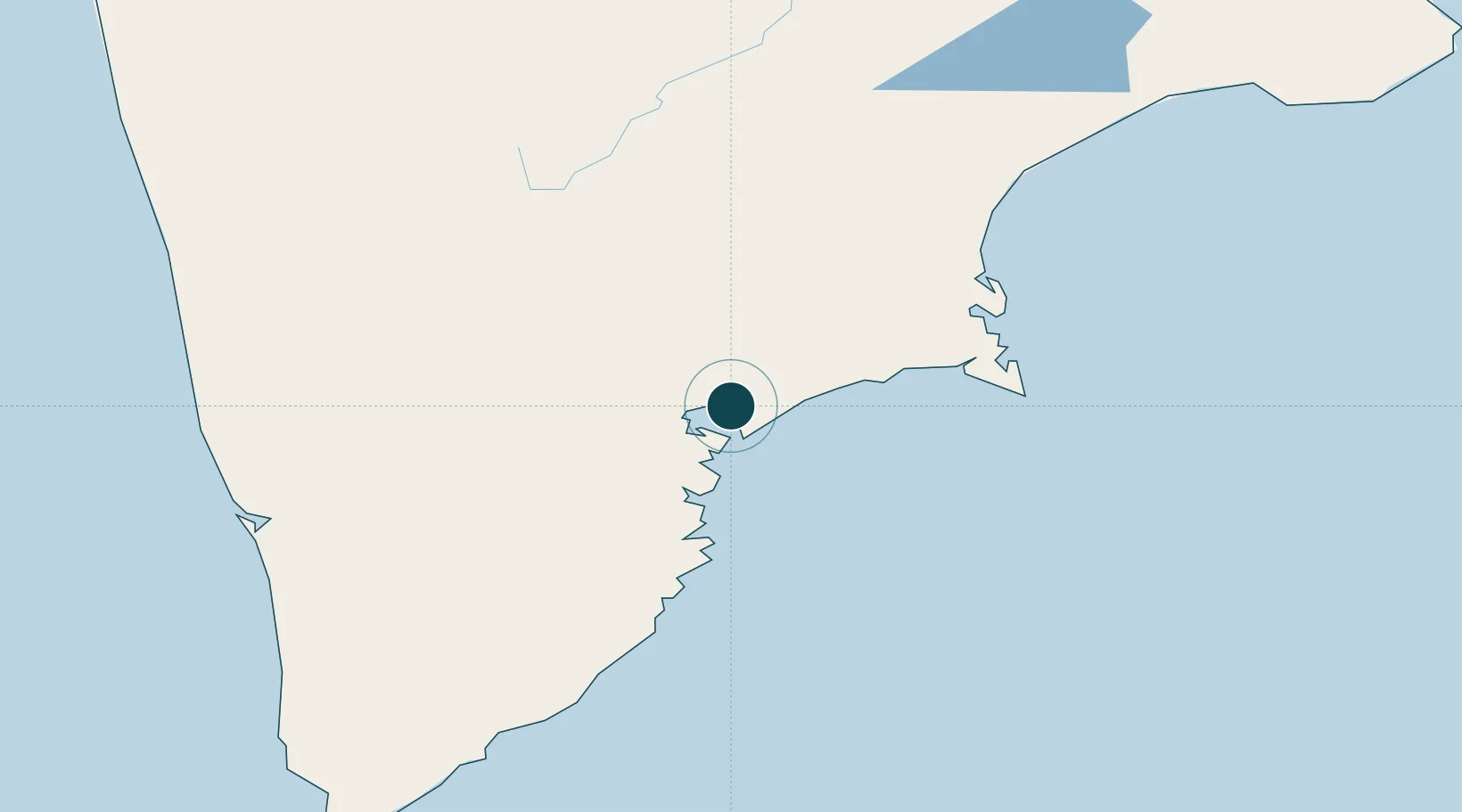
53.0500°, 158.6500°
12.0 m
Channel depth
1
Container terminals
9.7
Port liner connectivity
Channel & Berth Profile
Pilotage, Tugs & Services
Pilotage availableYES
Potable waterYES
MedicalYES
Garbage disposalYES
Facilities & Capabilities
Container—
Ro-Ro—
Liquid bulk—
Dry bulk—
Oil terminal—
Break bulk—
Dry dockNO
RepairsNO
BunkeringYES
Rail linkYES
Dangerous cargo—
ISPS security—
Harbour Specifications
Harbour size
Very Small
Harbour type
Coastal (Natural)
Shelter
Good
Water body
North Pacific Ocean
Tidal range
1.5 m
Overhead limit
Yes
Liner Connectivity
9.7
PLSCI
Port Liner Shipping Connectivity Index for Petropavlovsk, as published by UNCTAD for the latest available quarter. Higher values indicate stronger scheduled liner-shipping integration.
Shown relative to the highest per-port PLSCI in the dataset (1,657.9).
Location
Container Terminals · 1
SEROGLAZKA TERMINAL PETROPAVLOVSK
SERO LLC TERMINAL SEROGLAZKA
Nearby Logistics Neighbours
Ports
- 1Bukhta Nagayeva (Magadan)873 km
- 2Alcan Harbor1033 km
- 3Okha1039 km
- 4Moskal Vo1072 km
- 5Aleksandrovsk -Sakhalinskiy1154 km
Cities
- 1Bukhta Ol'ga233 km
- 2Dobrenice331 km
- 3Ust-Kamchatsk419 km
- 4Wolfsberg im Schwarzautal420 km
- 5Dolni Kounice497 km
Airports
- 1Yelizovo Airport19 km
- 2Avachinskiy Heliport21 km
- 3Sharomy Air Base142 km
- 4Ust'-Kamchatsk Airport440 km
- 5Palana Airport675 km
Trade Zones
DatabookThe Record of Consolidated Knowledge
Russia beyond logistics?