Medium airport · Russia
Keperveem AirportUHMK
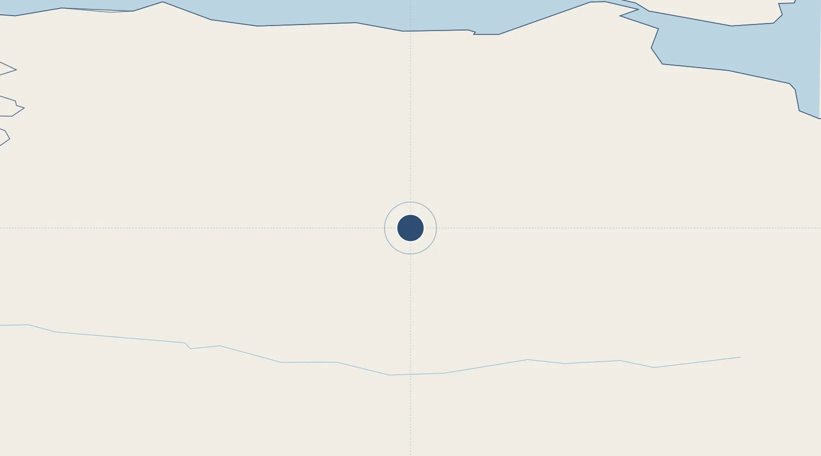
67.8450°, 166.1400°
11,482 ft
Longest runway
1
Runways
623 ft
Elevation
Runway & Layout

Runways · 1
| Runway | Dimensions | Surface | True heading | Lit |
|---|---|---|---|---|
| 09/27 | 11,482 × 197ft | Concrete | — | ✓ |
Airport Specifications
IATA code
KPW
ICAO code
UHMK
Airport class
Medium airport
Scheduled service
Yes
Runway surface
Concrete
Served city
Keperveem
Location
Nearby Logistics Neighbours
Airports
- 1Cherskiy Airport221 km
- 2Pevek Airport280 km
- 3Omolon Airport381 km
- 4Markovo Airport402 km
- 5Srednekolymsk Airport525 km
Cities
- 1Ust Chaun208 km
- 2Ambarchik251 km
- 3Khatyrka772 km
- 4Magadansky, Port1187 km
- 5Bukhta Ol'ga1501 km
Ports
- 1Pevek267 km
- 2Port Beringovsky807 km
- 3Bukhta Nagayeva (Magadan)1187 km
- 4Okhotsk Iy Reyd1460 km
- 5Petropavlovsk1693 km
DatabookThe Record of Consolidated Knowledge
Russia beyond logistics?