Seaport · Russia

Port BeringovskyRUBER

63.0631°, 179.3675°

Channel & Berth Profile

SEA LEVEL (CD)CHANNEL BEDCargo pier · 3.4 mAnchorage · 17.1 m
NGA World Port Index

Pilotage, Tugs & Services

MedicalYES
NGA World Port Index

Facilities & Capabilities

Container
Ro-Ro
Liquid bulk
Dry bulk
Oil terminal
Break bulk
Dry dock
RepairsNO
Bunkering
Rail link
Dangerous cargo
ISPS security
NGA World Port Index

Harbour Specifications
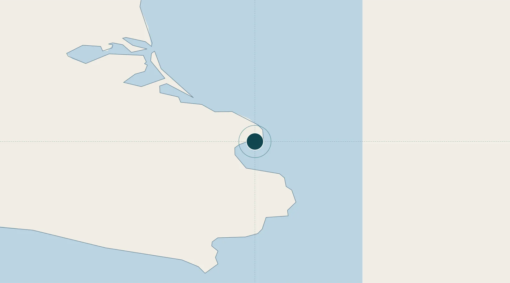
Water body
Anadyrskiy Zaliv; Bering Sea; North Pacific Ocean
NGA World Port Index
Tidal range
1 m
NGA World Port Index

Location

Location of RUBER
Natural Earth 10m (public domain) · Alaska · RUBER · 63.06, 179.37GoogleOSMYandex

Nearby Logistics Neighbours

Ports
  1. 1Pevek841 km
  2. 2Alcan Harbor1190 km
  3. 3Kiska1239 km
  4. 4Bukhta Nagayeva (Magadan)1563 km
  5. 5Petropavlovsk1637 km
Nearest neighbours — logibook spatial index (haversine) over the source coordinates
Cities
  1. 1Khatyrka236 km
  2. 2Ust Chaun753 km
  3. 3Margonin1140 km
  4. 4Zagorow1231 km
  5. 5Kiska Harbour1238 km
Nearest neighbours — logibook spatial index (haversine) over the source coordinates
Airports
  1. 1Ugolny Yuri Ryktheu Airport202 km
  2. 2Markovo Airport473 km
  3. 3Keperveem Airport807 km
  4. 4Pevek Airport841 km
  5. 5Omolon Airport940 km
Nearest neighbours — logibook spatial index (haversine) over the source coordinates
Trade Zones
  1. 1Sovetskaya Gavan Free Zone2825 km
  2. 2Forest General Industrial Special Zone3122 km
  3. 3Sapporo Contents Special Zone3291 km
  4. 4Hokkaido Food Complex International Strategic Comprehensive Special Zone3292 km
  5. 5Semboku City Strategic Special Zone3634 km
Nearest neighbours — logibook spatial index (haversine) over the source coordinates
DatabookThe Record of Consolidated Knowledge
Russia beyond logistics?
Browse databook

All Sources

Portsthe NGA World Port Index
Public domain (US gov)
AirportsOurAirports
Public domain
LocationsUN/LOCODE
UN/LOCODE — free
Trade Zonesthe World Bank SEZ database
CC BY 4.0
Trade ZonesOpen Zone Map
CC BY
← Russia ports