Transport Functions
Port
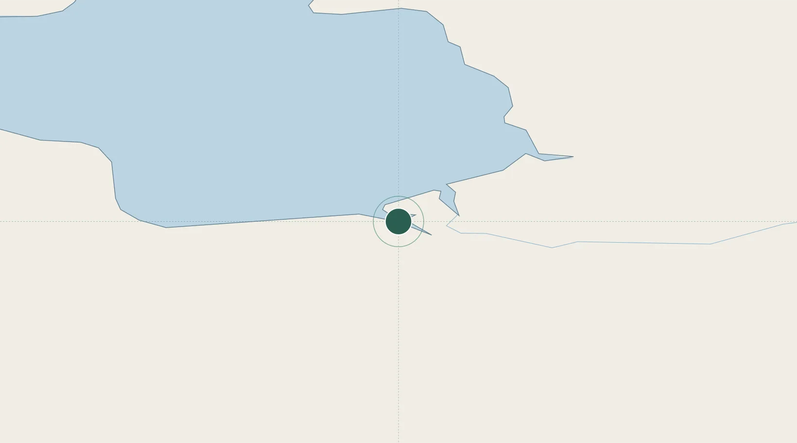
Hub Profile
Place type
Populated place
Region
Chukotka
Time zone
Asia/Anadyr
Elevation
1 m
Location
Nearby Logistics Neighbours
Cities
- 1Ambarchik336 km
- 2Khatyrka780 km
- 3Magadansky, Port1392 km
- 4Bukhta Ol'ga1656 km
- 5Margonin1784 km
Ports
- 1Pevek102 km
- 2Port Beringovsky753 km
- 3Bukhta Nagayeva (Magadan)1392 km
- 4Okhotsk Iy Reyd1667 km
- 5Alcan Harbor1796 km
Airports
- 1Pevek Airport109 km
- 2Keperveem Airport208 km
- 3Cherskiy Airport369 km
- 4Markovo Airport460 km
- 5Ugolny Yuri Ryktheu Airport552 km
Trade Zones
DatabookThe Record of Consolidated Knowledge
Russia beyond logistics?