Runway & Layout

Airport Specifications
IATA code
BQJ
ICAO code
UEBB
Airport class
Small airport
Scheduled service
Yes
Served city
Batagay
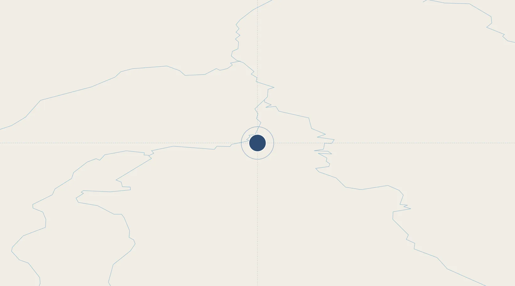
Location
Nearby Logistics Neighbours
Airports
- 1Sakkyryr Airport182 km
- 2Ust-Kuyga Airport266 km
- 3Deputatskiy Airport287 km
- 4Moma Airport394 km
- 5Belaya Gora Airport488 km
Cities
- 1Alabel488 km
- 2Kotel'nyy935 km
- 3Olekminsk1063 km
- 4Magadansky, Port1191 km
- 5Oelsted1489 km
Ports
- 1Tiksi497 km
- 2Okhotsk Iy Reyd1011 km
- 3Bukhta Nagayeva (Magadan)1191 km
- 4Moskal Vo1618 km
- 5Okha1628 km
Trade Zones
DatabookThe Record of Consolidated Knowledge
Russia beyond logistics?