Medium airport · Russia
Tiksi AirportUEST
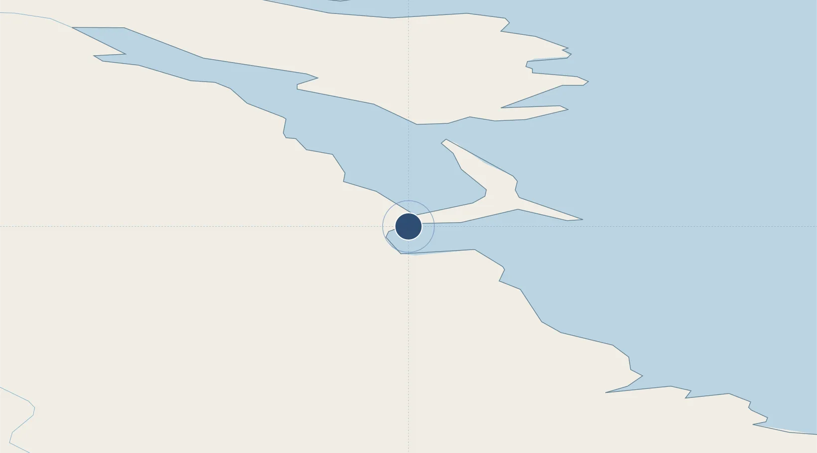
71.6977°, 128.9030°
9,845 ft
Longest runway
1
Runways
26 ft
Elevation
Runway & Layout

Radio Frequencies
TWR
124 MHz
LANDING
RDR
128.5 MHz
KRUG
Runways · 1
| Runway | Dimensions | Surface | True heading | Lit |
|---|---|---|---|---|
| 03/21 | 9,845 × 194ft | Concrete | 008° | ✓ |
Airport Specifications
IATA code
IKS
ICAO code
UEST
Airport class
Medium airport
Scheduled service
Yes
Runway surface
Concrete
Served city
Tiksi
Location
Nearby Logistics Neighbours
Airports
- 1Ust-Kuyga Airport309 km
- 2Sakkyryr Airport438 km
- 3Deputatskiy Airport480 km
- 4Batagay Airport502 km
- 5Zhigansk Airport587 km
Ports
- 1Tiksi6 km
- 2Okhotsk Iy Reyd1512 km
- 3Bukhta Nagayeva (Magadan)1659 km
- 4Moskal Vo2119 km
- 5Okha2130 km
DatabookThe Record of Consolidated Knowledge
Russia beyond logistics?