Transport Functions
Port
Hub Profile
Region
SA
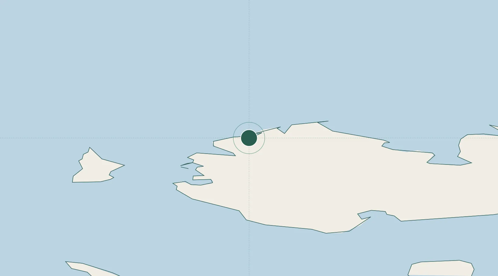
Location
Nearby Logistics Neighbours
Cities
- 1Alabel1264 km
- 2Olekminsk1865 km
- 3Magadansky, Port1895 km
- 4Lensk1914 km
- 5Vitim2093 km
Ports
- 1Tiksi558 km
- 2Okhotsk Iy Reyd1861 km
- 3Bukhta Nagayeva (Magadan)1895 km
- 4Moskal Vo2500 km
- 5Okha2506 km
Airports
- 1Tiksi Airport553 km
- 2Ust-Kuyga Airport670 km
- 3Chokurdakh Airport675 km
- 4Deputatskiy Airport738 km
- 5Belaya Gora Airport872 km
DatabookThe Record of Consolidated Knowledge
Russia beyond logistics?