Runway & Layout

Airport Specifications
IATA code
UKG
ICAO code
UEBT
Airport class
Small airport
Scheduled service
Yes
Served city
Ust-Kuyga
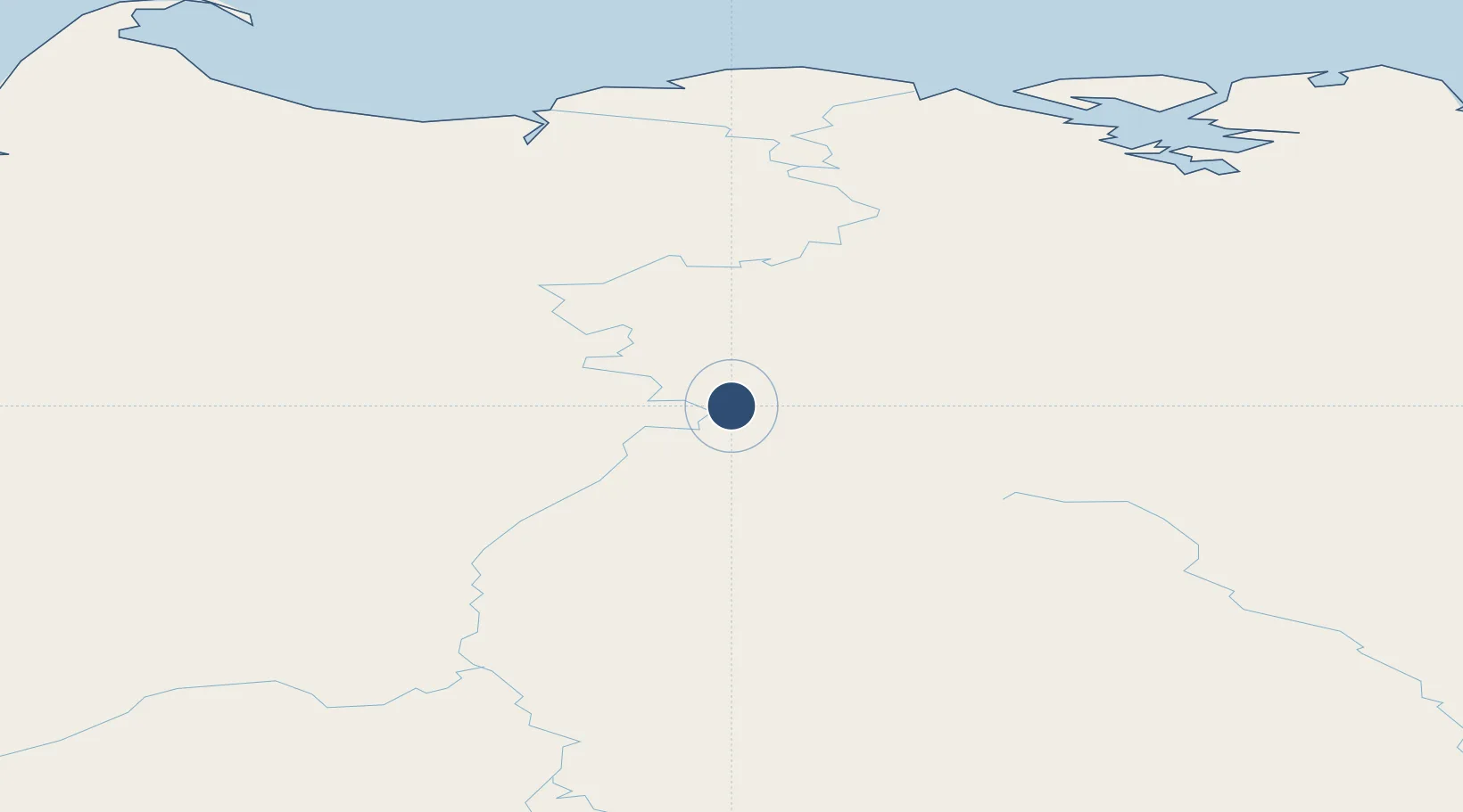
Location
Nearby Logistics Neighbours
Airports
- 1Deputatskiy Airport178 km
- 2Batagay Airport266 km
- 3Tiksi Airport309 km
- 4Sakkyryr Airport324 km
- 5Belaya Gora Airport446 km
Cities
- 1Kotel'nyy670 km
- 2Alabel675 km
- 3Olekminsk1279 km
- 4Magadansky, Port1355 km
- 5Lensk1397 km
Ports
- 1Tiksi306 km
- 2Okhotsk Iy Reyd1235 km
- 3Bukhta Nagayeva (Magadan)1355 km
- 4Moskal Vo1859 km
- 5Okha1868 km
DatabookThe Record of Consolidated Knowledge
Russia beyond logistics?