Transport Functions
Port
Hub Profile
Region
20
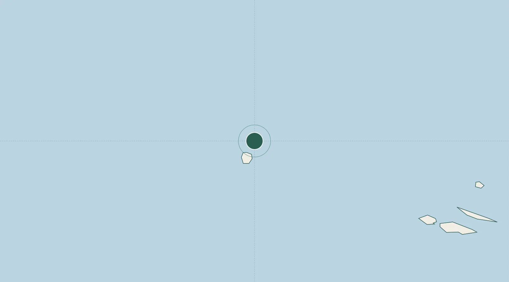
Location
Nearby Logistics Neighbours
Cities
- 1Santa Cruz das Flores24 km
- 2Lajes das Flores32 km
- 3Capelo233 km
- 4Horta247 km
- 5Langa de Duero254 km
Ports
- 1Horta247 km
- 2Lajes282 km
- 3Angra Do Heroismo353 km
- 4Praia De Vitoria365 km
- 5Ponta Delgada518 km
Airports
- 1Corvo Airport1 km
- 2Flores Airport24 km
- 3Horta Airport242 km
- 4Pico Airport261 km
- 5Graciosa Airport272 km
Trade Zones
- 1Centro Internacional De Negocios da Madeira1491 km
- 2Zona Franca de Tenerife1844 km
- 3Zona Franca de Vigo1893 km
- 4Zona Livre Tecnológica Masotinhos1900 km
- 5VGP Park Santa Maria da Feira1911 km
DatabookThe Record of Consolidated Knowledge
Portugal beyond logistics?