UN/LOCODE hub · Portugal
PTLIS

Lisboa

38.7831°, -9.1285°
5
Transport functions
4
Container terminals

Transport Functions

Port
Rail
Road
Airport
Postal
Lisboa is also a profiled seaport →
UN/LOCODE

Hub Profile

Region
11
GeoNames
Logistics facilities
17
UN/LOCODE
Container terminals
4
UN/LOCODE

Location

Location of PTLIS
Natural Earth 10m (public domain) · 11 · PTLIS · 38.78, -9.13GoogleOSMYandex

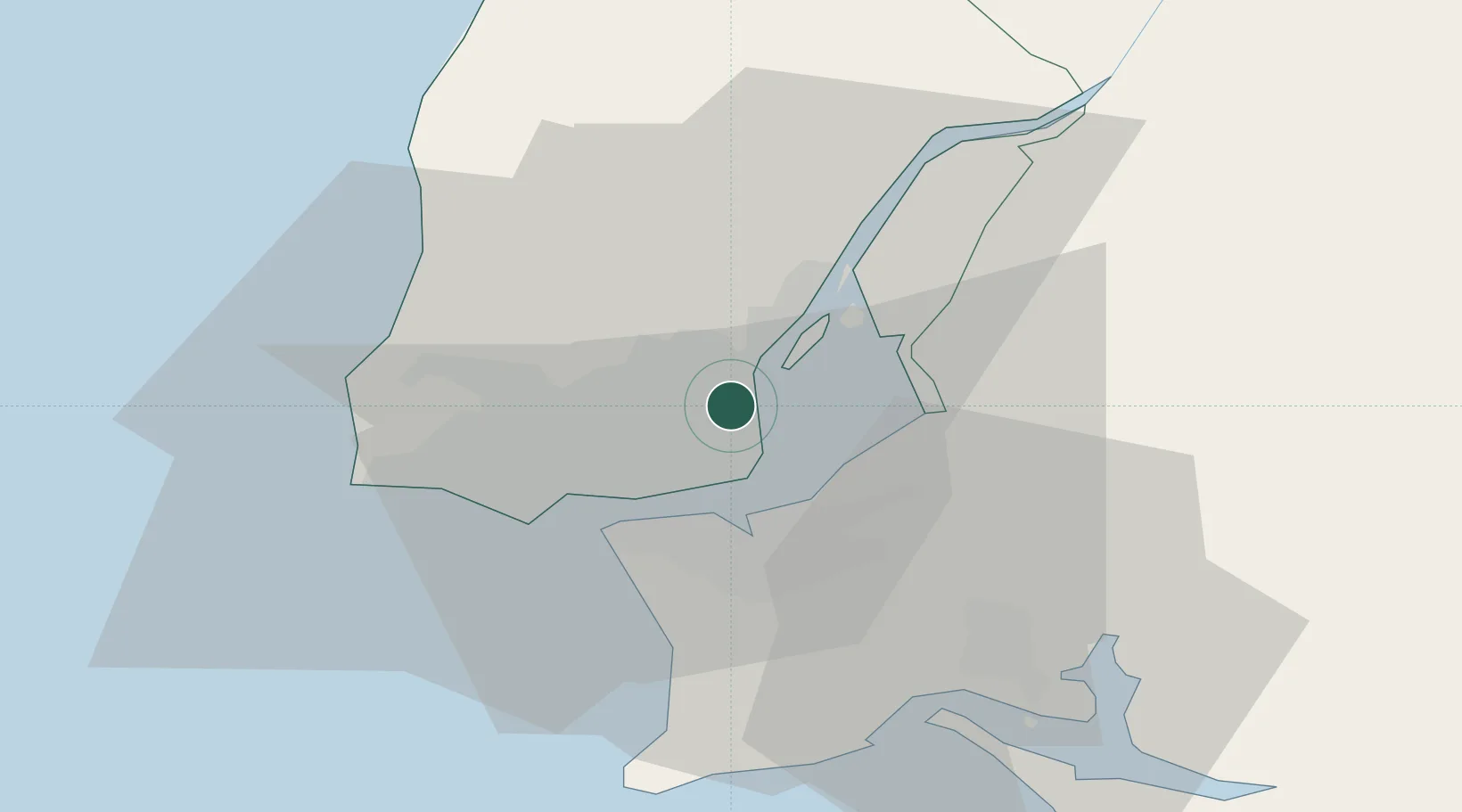
Nearby Logistics Neighbours

Cities
  1. 1Prior Velho1 km
  2. 2Camarate2 km
  3. 3Sacavém3 km
  4. 4Moscavide3 km
  5. 5Odivelas5 km
Nearest neighbours — logibook spatial index (haversine) over the source coordinates
Ports
  1. 1Setubal36 km
  2. 2Sines95 km
  3. 3Figueira Da Foz154 km
  4. 4Lagos193 km
  5. 5Aveiro212 km
Nearest neighbours — logibook spatial index (haversine) over the source coordinates
Airports
  1. 1Lisbon Humberto Delgado Airport1 km
  2. 2Montijo Air Base12 km
  3. 3Alverca Air Base14 km
  4. 4Sintra Air Base19 km
  5. 5Cascais Airport21 km
Nearest neighbours — logibook spatial index (haversine) over the source coordinates
Trade Zones
  1. 1VGP Park Santa Maria da Feira244 km
  2. 2Puerto de Huelva255 km
  3. 3Zona Livre Tecnológica Masotinhos269 km
  4. 4Zona Franca de Sevilla318 km
  5. 5Zona Franca de Cádiz358 km
Nearest neighbours — logibook spatial index (haversine) over the source coordinates
DatabookThe Record of Consolidated Knowledge
Portugal beyond logistics?
Browse databook

All Sources

LocationsUN/LOCODE
UN/LOCODE — free
Portsthe NGA World Port Index
Public domain (US gov)
AirportsOurAirports
Public domain
Trade Zonesthe World Bank SEZ database
CC BY 4.0
Trade ZonesOpen Zone Map
CC BY
← Portugal locations