Transport Functions
Rail
Road
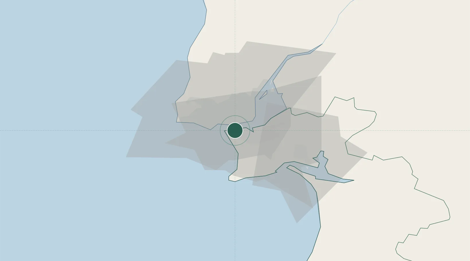
Hub Profile
Place type
Populated place
Region
Setúbal
Population
21,167
Time zone
Europe/Lisbon
Elevation
98 m
Location
Nearby Logistics Neighbours
Cities
- 1Banatica0 km
- 2Monte da Caparica0 km
- 3Trafaria3 km
- 4Memória4 km
- 5Costa da Caparica4 km
Ports
- 1Lisboa5 km
- 2Setubal31 km
- 3Sines85 km
- 4Figueira Da Foz168 km
- 5Lagos182 km
Airports
- 1Lisbon Humberto Delgado Airport14 km
- 2Cascais Airport15 km
- 3Montijo Air Base15 km
- 4Sintra Air Base22 km
- 5Alverca Air Base28 km
Trade Zones
- 1Puerto de Huelva251 km
- 2VGP Park Santa Maria da Feira258 km
- 3Zona Livre Tecnológica Masotinhos282 km
- 4Zona Franca de Sevilla317 km
- 5Zona Franca de Cádiz353 km
DatabookThe Record of Consolidated Knowledge
Portugal beyond logistics?