Transport Functions
Rail
Road
Hub Profile
Place type
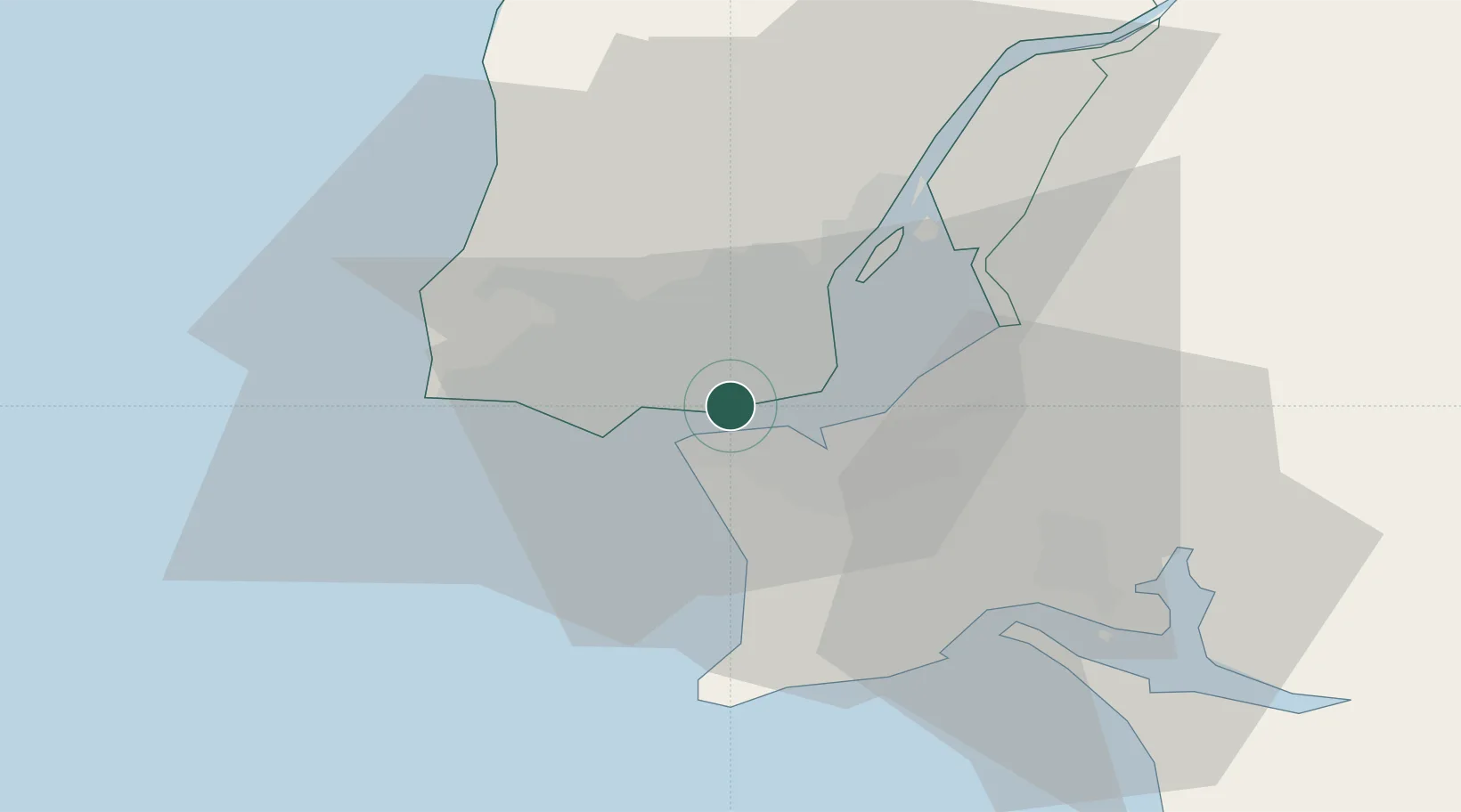
Urban district
Region
Lisbon
Time zone
Europe/Lisbon
Elevation
103 m
Location
Nearby Logistics Neighbours
Cities
- 1Algés3 km
- 2Banatica4 km
- 3Caparica4 km
- 4Monte da Caparica4 km
- 5Trafaria5 km
Ports
- 1Lisboa3 km
- 2Setubal33 km
- 3Sines88 km
- 4Figueira Da Foz164 km
- 5Lagos185 km
Airports
- 1Lisbon Humberto Delgado Airport11 km
- 2Cascais Airport14 km
- 3Montijo Air Base15 km
- 4Sintra Air Base19 km
- 5Alverca Air Base25 km
Trade Zones
- 1Puerto de Huelva253 km
- 2VGP Park Santa Maria da Feira254 km
- 3Zona Livre Tecnológica Masotinhos279 km
- 4Zona Franca de Sevilla319 km
- 5Zona Franca de Cádiz356 km
DatabookThe Record of Consolidated Knowledge
Portugal beyond logistics?