Transport Functions
Rail
Road
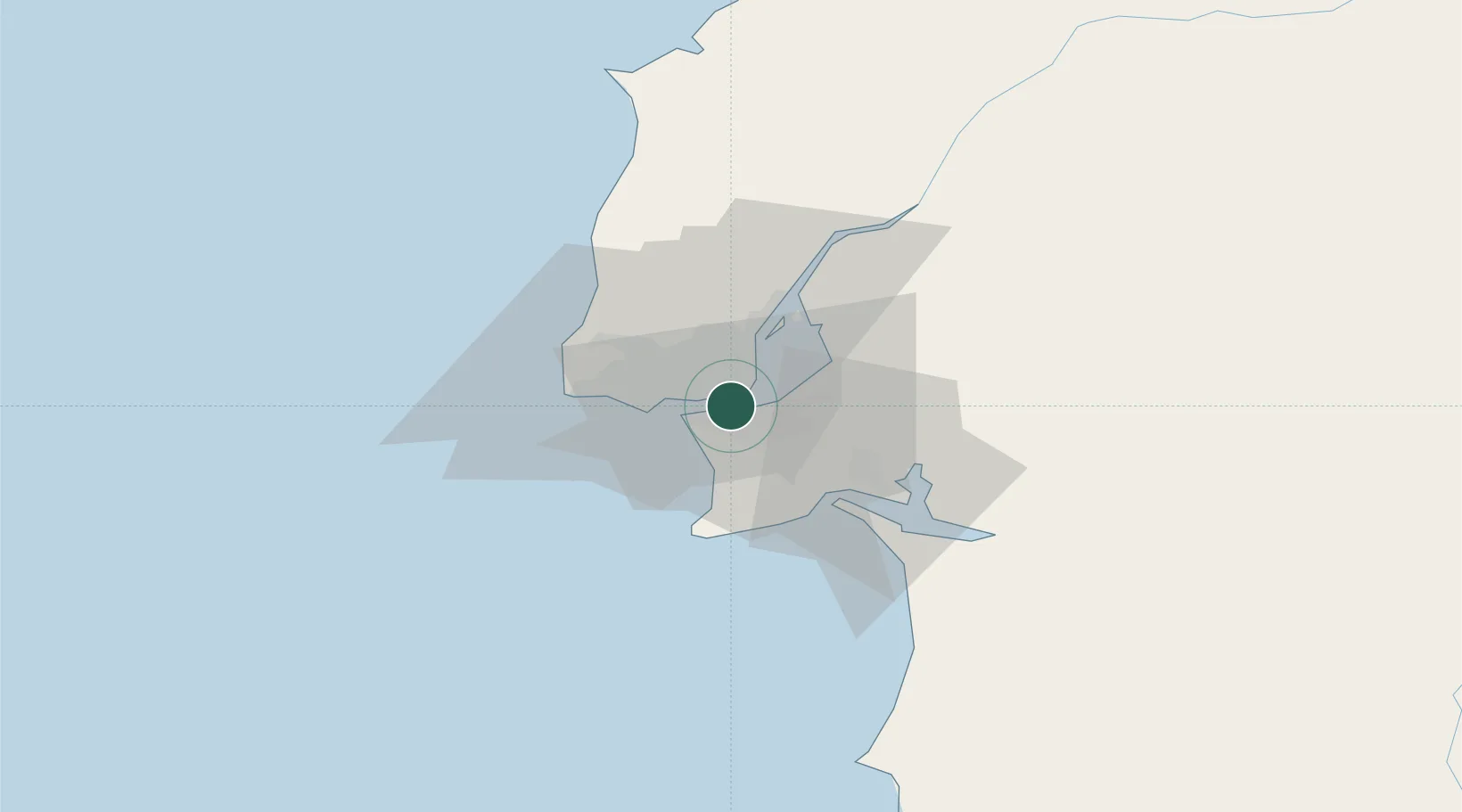
Hub Profile
Place type
Provincial seat
Region
Setúbal
Population
34,008
Time zone
Europe/Lisbon
Elevation
58 m
Location
Nearby Logistics Neighbours
Cities
- 1Cova da Piedade2 km
- 2Memória5 km
- 3Banatica5 km
- 4Caparica5 km
- 5Monte da Caparica5 km
Ports
- 1Lisboa2 km
- 2Setubal29 km
- 3Sines85 km
- 4Figueira Da Foz165 km
- 5Lagos182 km
Airports
- 1Montijo Air Base11 km
- 2Lisbon Humberto Delgado Airport11 km
- 3Cascais Airport18 km
- 4Sintra Air Base23 km
- 5Alverca Air Base25 km
Trade Zones
- 1Puerto de Huelva249 km
- 2VGP Park Santa Maria da Feira255 km
- 3Zona Livre Tecnológica Masotinhos280 km
- 4Zona Franca de Sevilla314 km
- 5Zona Franca de Cádiz351 km
DatabookThe Record of Consolidated Knowledge
Portugal beyond logistics?