UN/LOCODE hub · Portugal
PTCVP

Cova da Piedade

38.6667°, -9.1500°
2
Transport functions

Transport Functions

Rail
Road
UN/LOCODE

Hub Profile

Region
15
GeoNames

Location

Location of PTCVP
Natural Earth 10m (public domain) · 15 · PTCVP · 38.67, -9.15GoogleOSMYandex

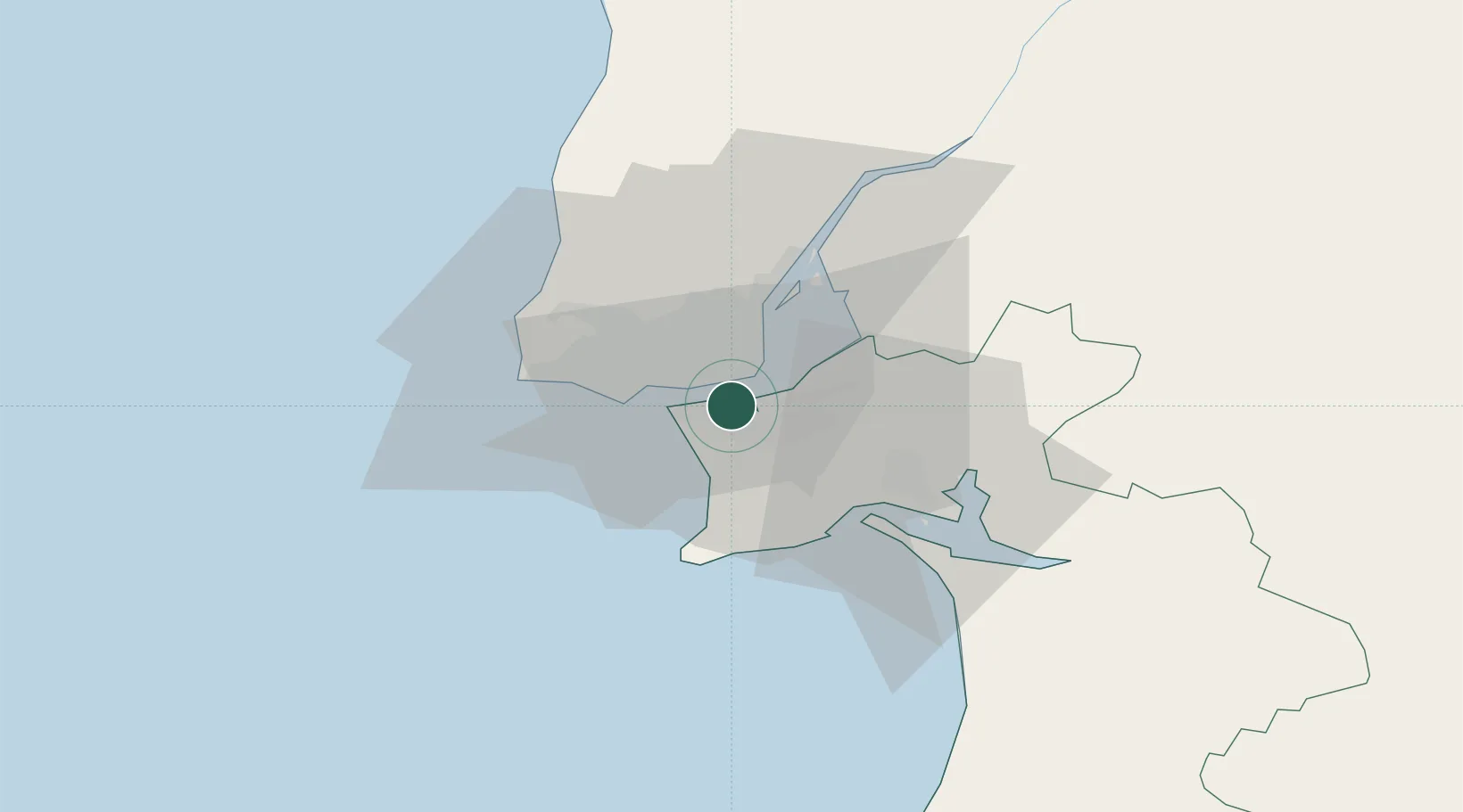
Nearby Logistics Neighbours

Cities
  1. 1Almada2 km
  2. 2Banatica4 km
  3. 3Caparica4 km
  4. 4Monte da Caparica4 km
  5. 5Memória6 km
Nearest neighbours — logibook spatial index (haversine) over the source coordinates
Ports
  1. 1Lisboa4 km
  2. 2Setubal27 km
  3. 3Sines83 km
  4. 4Figueira Da Foz167 km
  5. 5Lagos180 km
Nearest neighbours — logibook spatial index (haversine) over the source coordinates
Airports
  1. 1Montijo Air Base11 km
  2. 2Lisbon Humberto Delgado Airport13 km
  3. 3Cascais Airport19 km
  4. 4Sintra Air Base25 km
  5. 5Alverca Air Base26 km
Nearest neighbours — logibook spatial index (haversine) over the source coordinates
Trade Zones
  1. 1Puerto de Huelva248 km
  2. 2VGP Park Santa Maria da Feira257 km
  3. 3Zona Livre Tecnológica Masotinhos282 km
  4. 4Zona Franca de Sevilla313 km
  5. 5Zona Franca de Cádiz350 km
Nearest neighbours — logibook spatial index (haversine) over the source coordinates
DatabookThe Record of Consolidated Knowledge
Portugal beyond logistics?
Browse databook

All Sources

LocationsUN/LOCODE
UN/LOCODE — free
Portsthe NGA World Port Index
Public domain (US gov)
AirportsOurAirports
Public domain
Trade Zonesthe World Bank SEZ database
CC BY 4.0
Trade ZonesOpen Zone Map
CC BY
← Portugal locations