Transport Functions
Port
Road
Hub Profile
Region
30
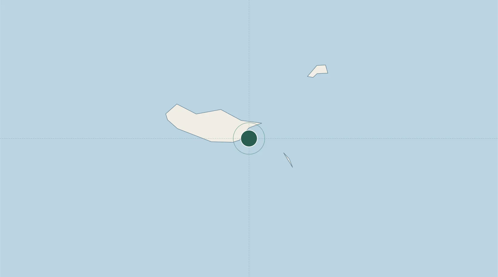
Location
Nearby Logistics Neighbours
Cities
- 1Machico4 km
- 2Caniçal8 km
- 3Porto da Cruz14 km
- 4Funchal, Madeira15 km
- 5Câmara de Lobos21 km
Ports
- 1Funchal16 km
- 2Santa Cruz De La Palma453 km
- 3Santa Cruz De Tenerife470 km
- 4Arrecife515 km
- 5Las Palmas518 km
Airports
Trade Zones
DatabookThe Record of Consolidated Knowledge
Portugal beyond logistics?