UN/LOCODE hub · Portugal
PTFNC
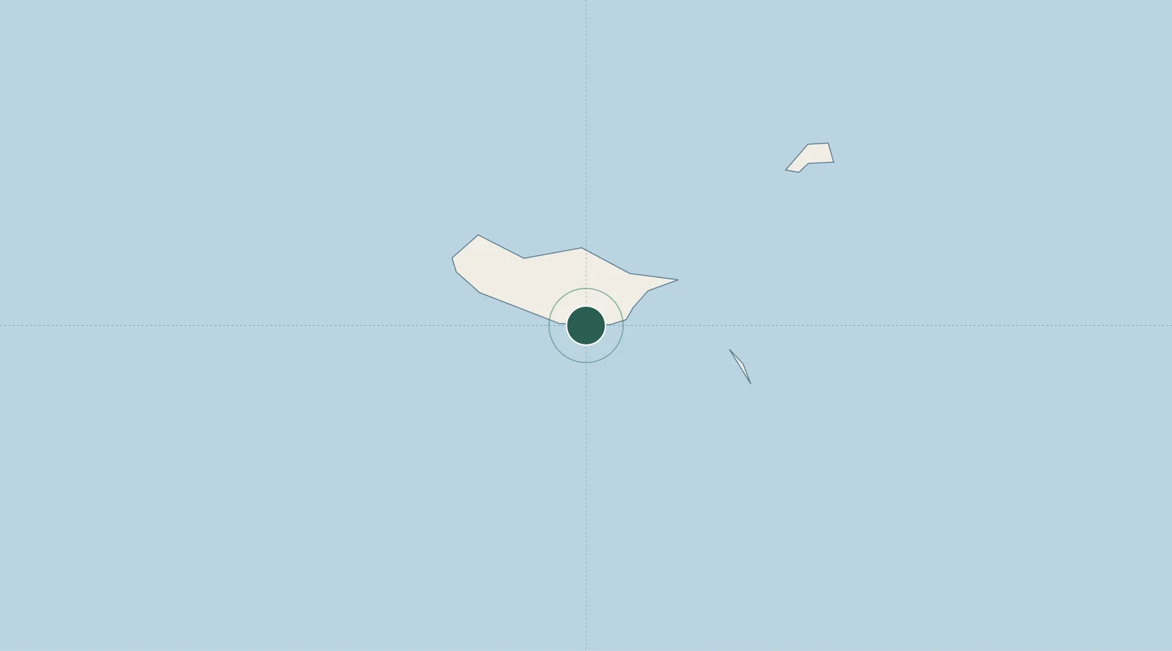
Funchal, Madeira
32.6419°, -16.9089°
4
Transport functions
1
Container terminals
Transport Functions
Port
Road
Airport
Postal
Hub Profile
Region
30
Logistics facilities
1
Container terminals
1
Location
Nearby Logistics Neighbours
Cities
- 1Câmara de Lobos6 km
- 2Machico15 km
- 3Zona Franca da Madeira15 km
- 4Porto da Cruz16 km
- 5Caniçal20 km
Ports
- 1Santa Cruz De La Palma448 km
- 2Santa Cruz De Tenerife469 km
- 3Las Palmas520 km
- 4Arrecife522 km
- 5Puerto Del Rosario546 km
Airports
Trade Zones
DatabookThe Record of Consolidated Knowledge
Portugal beyond logistics?