UN/LOCODE hub · Portugal
PTPCZ
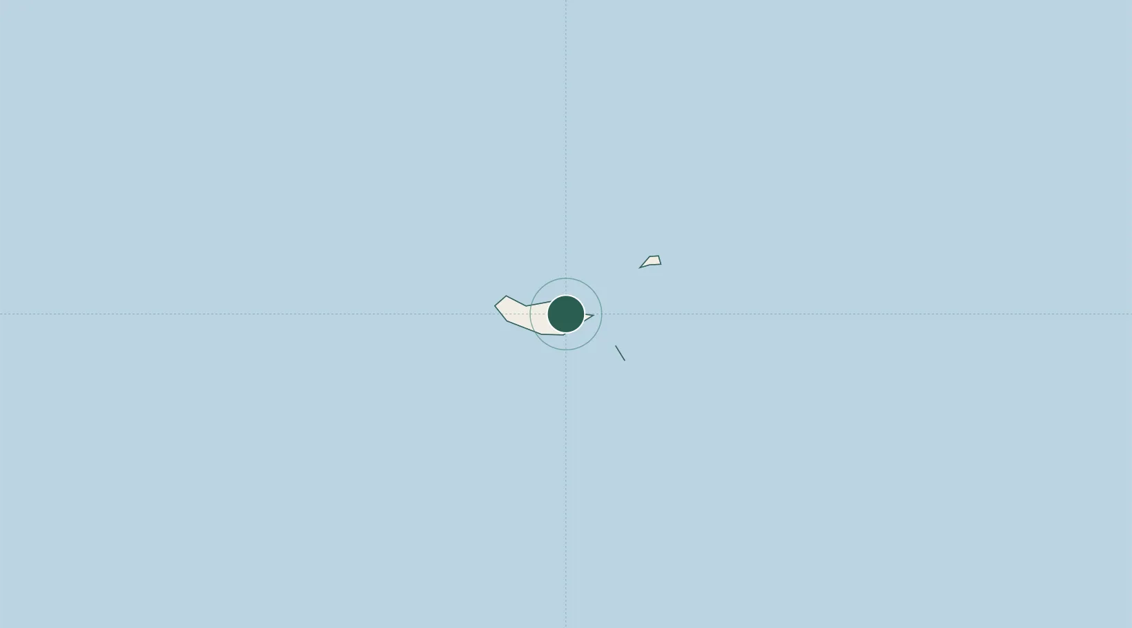
Porto da Cruz
32.7667°, -16.8333°
2,597
Population
2
Transport functions
Transport Functions
Port
Road
Hub Profile
Place type
Populated place
Region
Madeira
Population
2,597
Time zone
Atlantic/Madeira
Elevation
220 m
Location
Nearby Logistics Neighbours
Cities
- 1Machico10 km
- 2Caniçal10 km
- 3Zona Franca da Madeira14 km
- 4Funchal, Madeira16 km
- 5Câmara de Lobos19 km
Ports
- 1Funchal17 km
- 2Santa Cruz De La Palma462 km
- 3Santa Cruz De Tenerife482 km
- 4Arrecife528 km
- 5Las Palmas531 km
Airports
Trade Zones
DatabookThe Record of Consolidated Knowledge
Portugal beyond logistics?