UN/LOCODE hub · Portugal
PTCNL
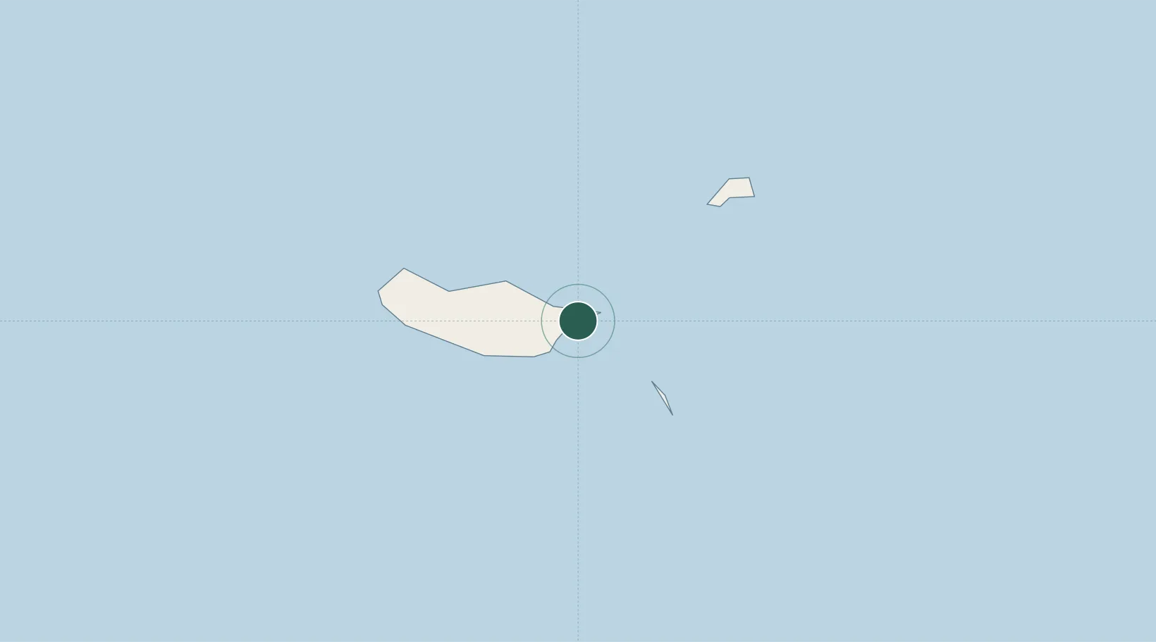
Caniçal
32.7371°, -16.7328°
3,893
Population
2
Transport functions
1
Container terminals
Transport Functions
Port
Road
Hub Profile
Place type
Populated place
Region
Madeira
Population
3,893
Time zone
Atlantic/Madeira
Elevation
21 m
Logistics facilities
2
Container terminals
1
Location
Nearby Logistics Neighbours
Cities
- 1Machico5 km
- 2Zona Franca da Madeira8 km
- 3Porto da Cruz10 km
- 4Funchal, Madeira20 km
- 5Câmara de Lobos25 km
Ports
- 1Funchal21 km
- 2Santa Cruz De La Palma461 km
- 3Santa Cruz De Tenerife477 km
- 4Arrecife520 km
- 5Las Palmas525 km
Airports
Trade Zones
DatabookThe Record of Consolidated Knowledge
Portugal beyond logistics?