Medium airport · Portugal

Porto Santo AirportLPPS
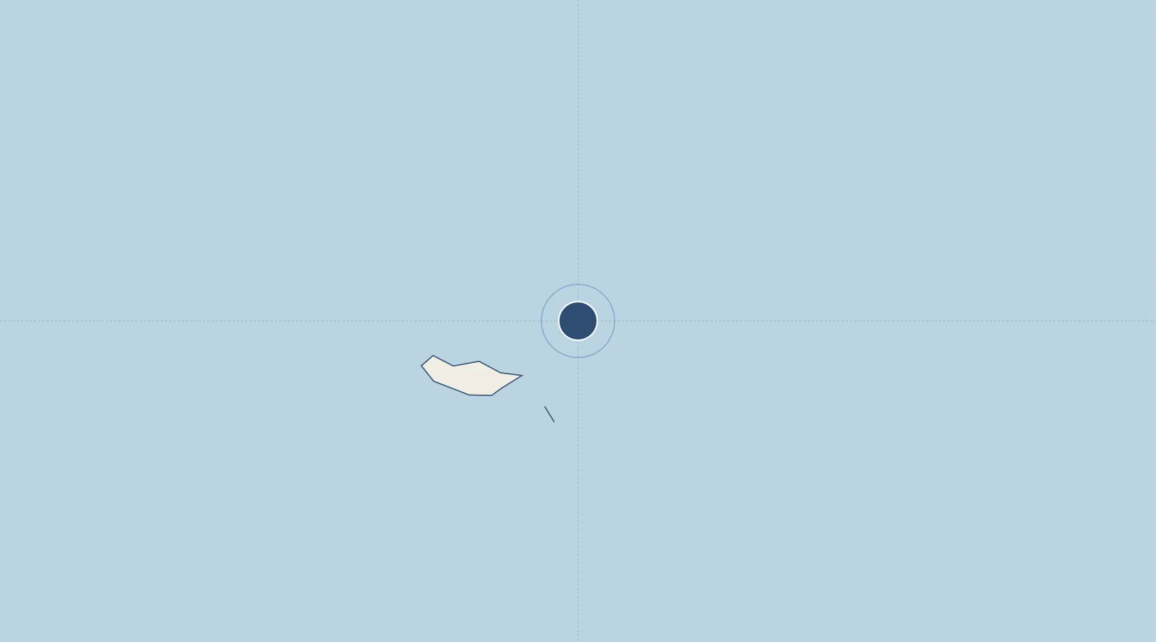
33.0734°, -16.3500°
9,861 ft
Longest runway
1
Runways
341 ft
Elevation

Runway & Layout

Porto Santo Airport runway & taxiway layout
Runway & taxiway layout — OpenStreetMap (ODbL) / OurAirports

Radio Frequencies

TWR
120.05 MHz
GCA
123.3 MHz
OurAirports

Navaids

PST NDB Porto Santo 338 kHz
SNT VOR-DME Porto Santo 114.90 MHz
STO TACAN Porto Santo 116.30 MHz
OurAirports

Runways · 1

RunwayDimensions SurfaceTrue headingLit
18/36 9,861 × 148ft Concrete 178°
OurAirports

Airport Specifications

IATA code
PXO
OurAirports
ICAO code
LPPS
OurAirports
Airport class
Medium airport
OurAirports
Scheduled service
Yes
OurAirports
Runway surface
Concrete
OurAirports
Served city
Vila Baleira
OurAirports

Location

Location of LPPS
Natural Earth 10m (public domain) · Madeira · LPPS · 33.07, -16.35GoogleOSMYandex

Nearby Logistics Neighbours

Airports
  1. 1Cristiano Ronaldo International Airport58 km
  2. 2Tenerife Norte-Ciudad de La Laguna Airport511 km
  3. 3La Palma Airport512 km
  4. 4César Manrique-Lanzarote Airport528 km
  5. 5Tenerife Sur Airport560 km
Nearest neighbours — logibook spatial index (haversine) over the source coordinates
Cities
  1. 1Porto Santo Island4 km
  2. 2Caniçal52 km
  3. 3Porto da Cruz57 km
  4. 4Machico57 km
  5. 5Zona Franca da Madeira59 km
Nearest neighbours — logibook spatial index (haversine) over the source coordinates
Ports
  1. 1Funchal72 km
  2. 2Santa Cruz De La Palma506 km
  3. 3Santa Cruz De Tenerife512 km
  4. 4Arrecife531 km
  5. 5Las Palmas555 km
Nearest neighbours — logibook spatial index (haversine) over the source coordinates
Trade Zones
  1. 1Centro Internacional De Negocios da Madeira71 km
  2. 2Zona Franca de Tenerife511 km
  3. 3Zona Franca de Las Palmas de Gran Canaria553 km
  4. 4Jorf Lasfar Industrial Park722 km
  5. 5Omrane Sahel Industrial Zone735 km
Nearest neighbours — logibook spatial index (haversine) over the source coordinates
DatabookThe Record of Consolidated Knowledge
Portugal beyond logistics?
Browse databook

All Sources

AirportsOurAirports
Public domain
Portsthe NGA World Port Index
Public domain (US gov)
LocationsUN/LOCODE
UN/LOCODE — free
Trade Zonesthe World Bank SEZ database
CC BY 4.0
Trade ZonesOpen Zone Map
CC BY
InfrastructureOpenStreetMap
ODbL 1.0
← Portugal airports