Transport Functions
Port
Road
Hub Profile
Place type
Populated place
Region
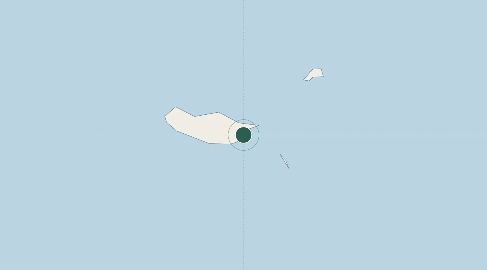
Madeira
Population
12,567
Time zone
Atlantic/Madeira
Elevation
39 m
Location
Nearby Logistics Neighbours
Cities
- 1Zona Franca da Madeira4 km
- 2Caniçal5 km
- 3Porto da Cruz10 km
- 4Funchal, Madeira15 km
- 5Câmara de Lobos20 km
Ports
- 1Funchal16 km
- 2Santa Cruz De La Palma456 km
- 3Santa Cruz De Tenerife474 km
- 4Arrecife519 km
- 5Las Palmas522 km
Airports
Trade Zones
DatabookThe Record of Consolidated Knowledge
Portugal beyond logistics?