UN/LOCODE hub · Portugal
PTTZJ

Leirosa

40.0333°, -8.8667°
1
Transport functions

Transport Functions

Multimodal
UN/LOCODE

Hub Profile

Region
06
GeoNames

Location

Location of PTTZJ
Natural Earth 10m (public domain) · 06 · PTTZJ · 40.03, -8.87GoogleOSMYandex

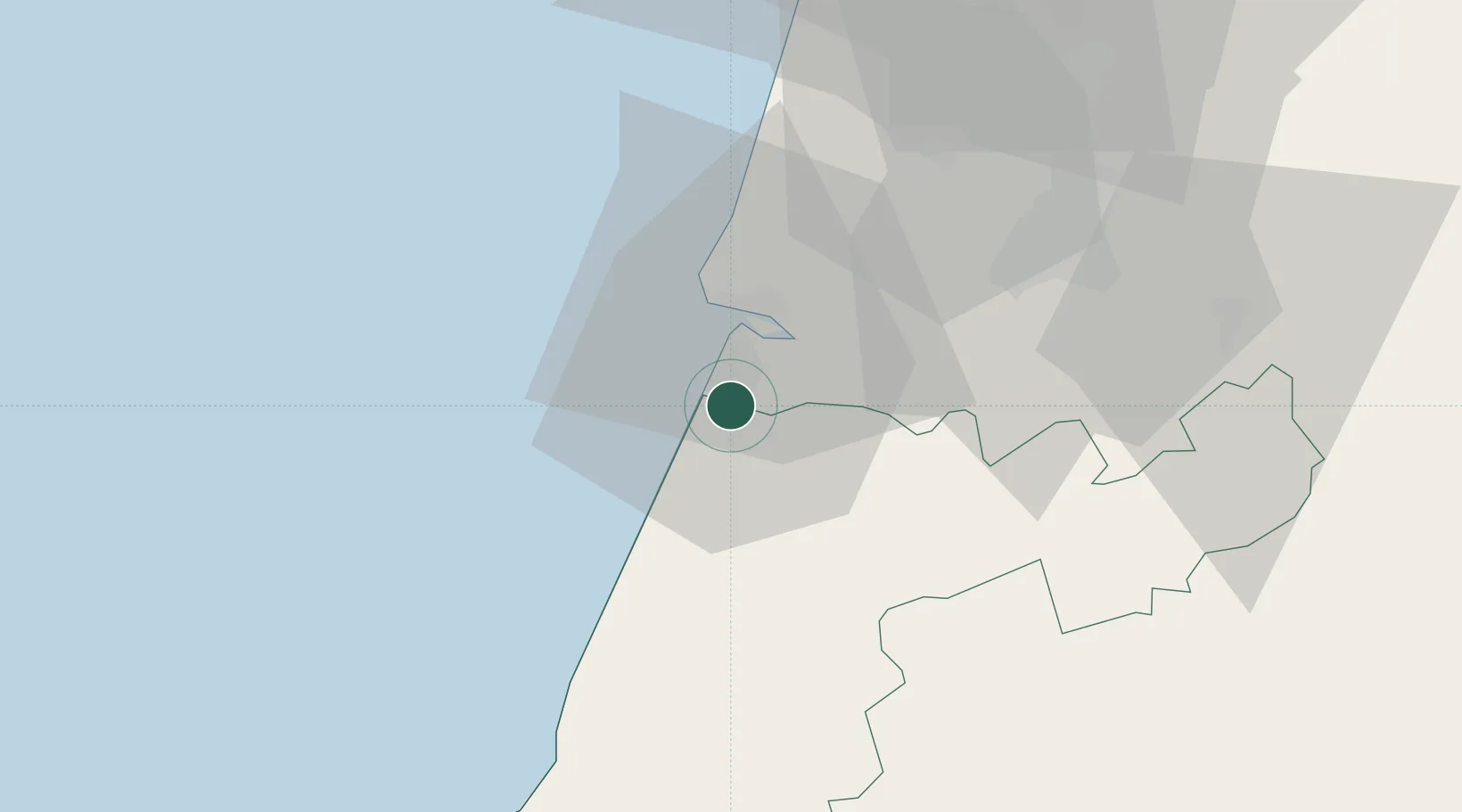
Nearby Logistics Neighbours

Cities
  1. 1Figueira da Foz13 km
  2. 2Monte Redondo15 km
  3. 3Montemor-o-Velho22 km
  4. 4Pelariga23 km
  5. 5Soure23 km
Nearest neighbours — logibook spatial index (haversine) over the source coordinates
Ports
  1. 1Figueira Da Foz13 km
  2. 2Aveiro71 km
  3. 3Oporto125 km
  4. 4Porto De Leixoes129 km
  5. 5Lisboa151 km
Nearest neighbours — logibook spatial index (haversine) over the source coordinates
Airports
  1. 1Monte Real Air Base23 km
  2. 2Aerodromo Municipal de Coimbra36 km
  3. 3Tancos Airbase76 km
  4. 4Ovar Air Base100 km
  5. 5Aerodromo Goncalves Lobato (Viseu Airport)113 km
Nearest neighbours — logibook spatial index (haversine) over the source coordinates
Trade Zones
  1. 1VGP Park Santa Maria da Feira103 km
  2. 2Zona Livre Tecnológica Masotinhos128 km
  3. 3Zona Franca de Vigo244 km
  4. 4Puerto de Huelva350 km
  5. 5Depósito Franco de La Coruña372 km
Nearest neighbours — logibook spatial index (haversine) over the source coordinates
DatabookThe Record of Consolidated Knowledge
Portugal beyond logistics?
Browse databook

All Sources

LocationsUN/LOCODE
UN/LOCODE — free
Portsthe NGA World Port Index
Public domain (US gov)
AirportsOurAirports
Public domain
Trade Zonesthe World Bank SEZ database
CC BY 4.0
Trade ZonesOpen Zone Map
CC BY
← Portugal locations