UN/LOCODE hub · Portugal
PTMMV
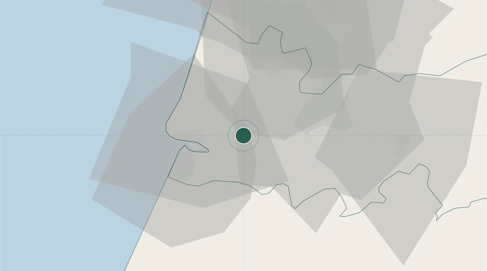
Montemor-o-Velho
40.1667°, -8.6833°
3,154
Population
2
Transport functions
Transport Functions
Rail
Road
Hub Profile
Place type
Provincial seat
Region
Coimbra
Population
3,154
Time zone
Europe/Lisbon
Elevation
20 m
Location
Nearby Logistics Neighbours
Cities
- 1Soure3 km
- 2Figueira da Foz14 km
- 3Cernache19 km
- 4Leirosa22 km
- 5Cantanhede22 km
Ports
- 1Figueira Da Foz14 km
- 2Aveiro54 km
- 3Oporto109 km
- 4Porto De Leixoes113 km
- 5Lisboa168 km
Airports
- 1Aerodromo Municipal de Coimbra18 km
- 2Monte Real Air Base41 km
- 3Tancos Airbase82 km
- 4Ovar Air Base83 km
- 5Aerodromo Goncalves Lobato (Viseu Airport)92 km
Trade Zones
- 1VGP Park Santa Maria da Feira86 km
- 2Zona Livre Tecnológica Masotinhos112 km
- 3Zona Franca de Vigo229 km
- 4Depósito Franco de La Coruña356 km
- 5Puerto de Huelva356 km
DatabookThe Record of Consolidated Knowledge
Portugal beyond logistics?