Transport Functions
Multimodal
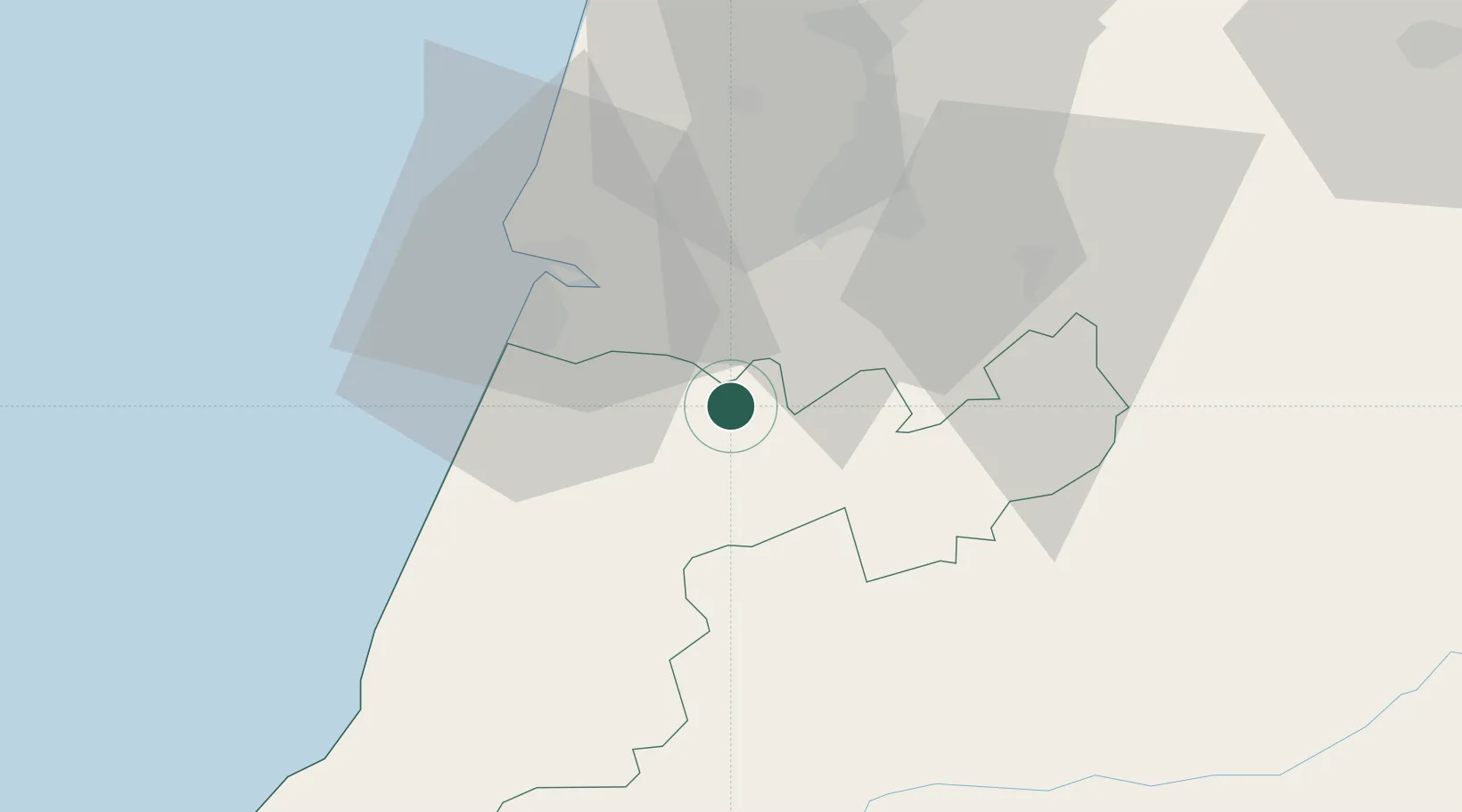
Hub Profile
Place type
Populated place
Region
Leiria
Time zone
Europe/Lisbon
Elevation
106 m
Location
Nearby Logistics Neighbours
Cities
- 1Pombal6 km
- 2Monte Redondo19 km
- 3Albergaria dos Doze21 km
- 4Soure21 km
- 5Cernache23 km
Ports
- 1Figueira Da Foz29 km
- 2Aveiro76 km
- 3Oporto132 km
- 4Porto De Leixoes136 km
- 5Lisboa149 km
Airports
Trade Zones
- 1VGP Park Santa Maria da Feira107 km
- 2Zona Livre Tecnológica Masotinhos135 km
- 3Zona Franca de Vigo252 km
- 4Puerto de Huelva334 km
- 5Zona Franca de Sevilla370 km
DatabookThe Record of Consolidated Knowledge
Portugal beyond logistics?