Transport Functions
Rail
Road
Hub Profile
Place type
Provincial seat
Region
Coimbra
Population
8,416
Time zone
Europe/Lisbon
Elevation
23 m
Logistics facilities
1
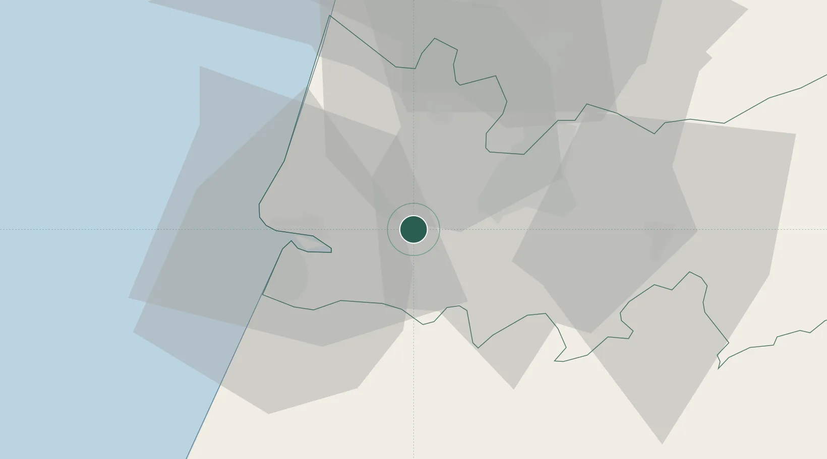
Location
Nearby Logistics Neighbours
Cities
- 1Montemor-o-Velho3 km
- 2Cernache15 km
- 3Figueira da Foz17 km
- 4Coimbra20 km
- 5Pelariga21 km
Ports
- 1Figueira Da Foz18 km
- 2Aveiro55 km
- 3Oporto110 km
- 4Porto De Leixoes114 km
- 5Lisboa168 km
Airports
- 1Aerodromo Municipal de Coimbra15 km
- 2Monte Real Air Base42 km
- 3Tancos Airbase80 km
- 4Ovar Air Base84 km
- 5Aerodromo Goncalves Lobato (Viseu Airport)90 km
Trade Zones
- 1VGP Park Santa Maria da Feira86 km
- 2Zona Livre Tecnológica Masotinhos113 km
- 3Zona Franca de Vigo231 km
- 4Puerto de Huelva354 km
- 5Depósito Franco de La Coruña356 km
DatabookThe Record of Consolidated Knowledge
Portugal beyond logistics?