Transport Functions
Rail
Road
Hub Profile
Place type
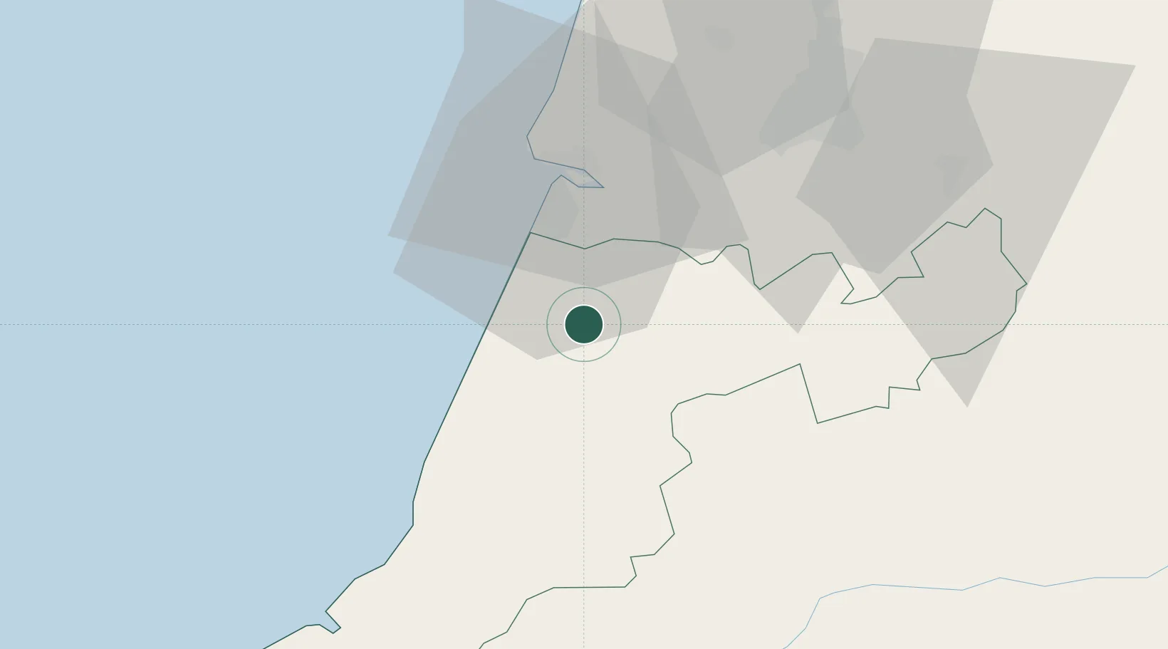
Populated place
Region
Leiria
Population
4,463
Time zone
Europe/Lisbon
Elevation
47 m
Location
Nearby Logistics Neighbours
Cities
- 1Leirosa15 km
- 2Pombal16 km
- 3Pelariga19 km
- 4Marinha Grande19 km
- 5Caranguejeira20 km
Ports
- 1Figueira Da Foz28 km
- 2Aveiro85 km
- 3Lisboa137 km
- 4Oporto140 km
- 5Porto De Leixoes143 km
Airports
- 1Monte Real Air Base10 km
- 2Aerodromo Municipal de Coimbra41 km
- 3Tancos Airbase61 km
- 4Aeródromo Municipal de Ponte de Sor101 km
- 5Ovar Air Base114 km
Trade Zones
- 1VGP Park Santa Maria da Feira117 km
- 2Zona Livre Tecnológica Masotinhos142 km
- 3Zona Franca de Vigo259 km
- 4Puerto de Huelva335 km
- 5Zona Franca de Sevilla376 km
DatabookThe Record of Consolidated Knowledge
Portugal beyond logistics?