UN/LOCODE hub · Portugal
PTFDF
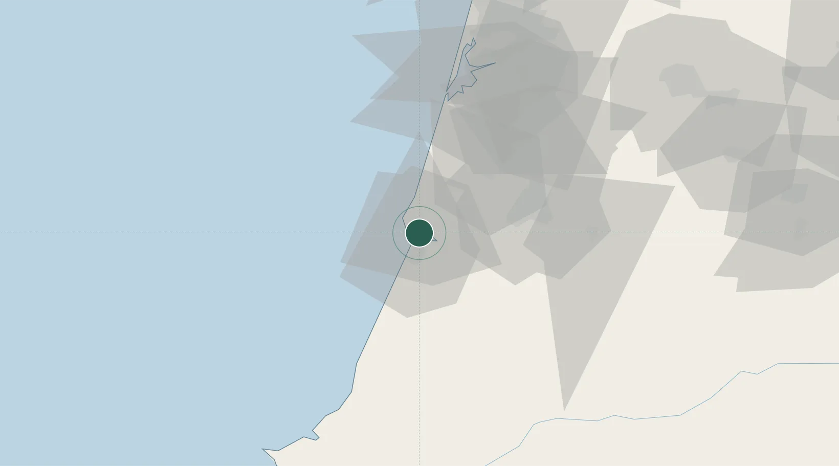
Figueira da Foz
40.1469°, -8.8475°
46,600
Population
3
Transport functions
1
Container terminals
Transport Functions
Port
Rail
Road
Hub Profile
Place type
Provincial seat
Region
Coimbra
Population
46,600
Time zone
Europe/Lisbon
Elevation
15 m
Logistics facilities
1
Container terminals
1
Location
Nearby Logistics Neighbours
Cities
- 1Leirosa13 km
- 2Montemor-o-Velho14 km
- 3Soure17 km
- 4Monte Redondo28 km
- 5Pelariga28 km
Ports
- 1Aveiro58 km
- 2Oporto113 km
- 3Porto De Leixoes116 km
- 4Lisboa163 km
- 5Viana Do Castelo173 km
Airports
- 1Aerodromo Municipal de Coimbra32 km
- 2Monte Real Air Base36 km
- 3Tancos Airbase85 km
- 4Ovar Air Base87 km
- 5Aerodromo Goncalves Lobato (Viseu Airport)104 km
Trade Zones
- 1VGP Park Santa Maria da Feira91 km
- 2Zona Livre Tecnológica Masotinhos115 km
- 3Zona Franca de Vigo232 km
- 4Depósito Franco de La Coruña359 km
- 5Puerto de Huelva360 km
DatabookThe Record of Consolidated Knowledge
Portugal beyond logistics?