Transport Functions
Road
Multimodal
Hub Profile
Region
01
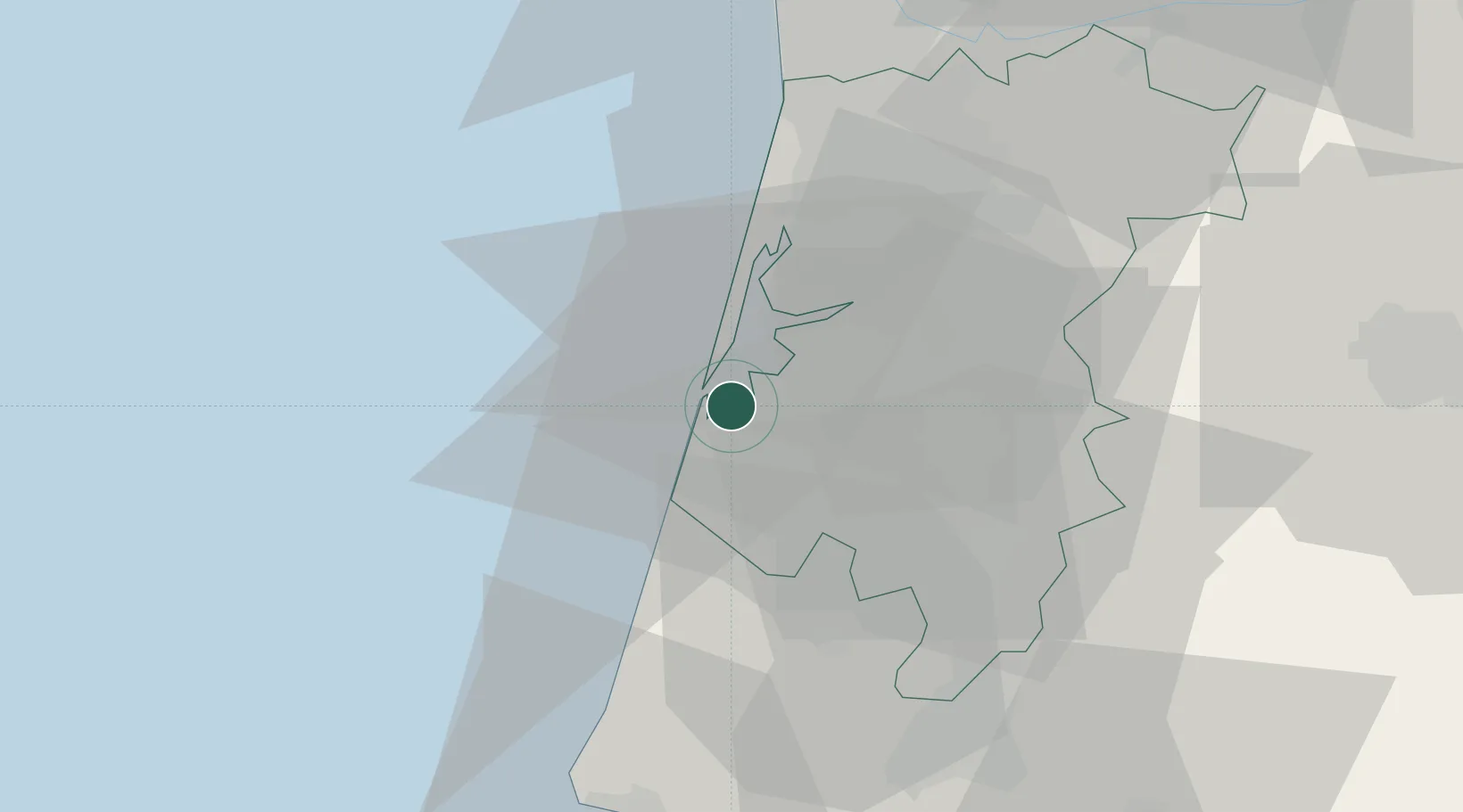
Location
Nearby Logistics Neighbours
Cities
- 1Cacia2 km
- 2Aveiro6 km
- 3Vagueira10 km
- 4Torreira13 km
- 5Canas de Santa Maria15 km
Ports
- 1Aveiro6 km
- 2Figueira Da Foz55 km
- 3Oporto58 km
- 4Porto De Leixoes61 km
- 5Viana Do Castelo119 km
Airports
Trade Zones
- 1VGP Park Santa Maria da Feira36 km
- 2Zona Livre Tecnológica Masotinhos60 km
- 3Zona Franca de Vigo178 km
- 4Depósito Franco de La Coruña304 km
- 5Puerto de Huelva405 km
DatabookThe Record of Consolidated Knowledge
Portugal beyond logistics?