Seaport · Spain
VigoESVGO
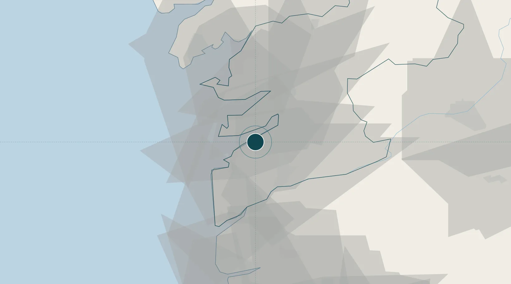
42.2333°, -8.7167°
23.2 m
Channel depth
1
Container terminals
128.7
Port liner connectivity
Channel & Berth Profile
Pilotage, Tugs & Services
Pilotage compulsoryYES
Pilotage availableYES
Pilotage advisableYES
Tug assistanceYES
Potable waterYES
Diesel bunkersYES
MedicalYES
Garbage disposalYES
Facilities & Capabilities
Container—
Ro-Ro—
Liquid bulk—
Dry bulk—
Oil terminal—
Break bulk—
Dry dockNO
RepairsNO
BunkeringYES
Rail linkYES
Dangerous cargo—
ISPS security—
Harbour Specifications
Harbour size
Medium
Harbour type
Coastal (Breakwater)
Shelter
Good
Water body
North Atlantic Ocean
Tidal range
3 m
Overhead limit
No
Pilotage
Yes
Liner Connectivity
128.7
PLSCI
Port Liner Shipping Connectivity Index for Vigo, as published by UNCTAD for the latest available quarter. Higher values indicate stronger scheduled liner-shipping integration.
Shown relative to the highest per-port PLSCI in the dataset (1,657.9).
Location
Container Terminals · 1
TERMINALES MARITIMAS DE VIGO (TERMAVI)
TMI TERMINALES MARITIMAS DE VIGO S.L. (TERMAVI)
Nearby Logistics Neighbours
Ports
- 1Marin19 km
- 2Villagarcia De Arosa41 km
- 3Viana Do Castelo60 km
- 4Porto De Leixoes117 km
- 5Oporto121 km
Cities
- 1Moaña6 km
- 2Chapela7 km
- 3Puxeiros8 km
- 4Sanguineda9 km
- 5Redondela11 km
Airports
- 1Vigo Airport7 km
- 2Braga Municipal Aerodrome75 km
- 3Santiago-Rosalía de Castro Airport78 km
- 4Vilar de Luz Airfield108 km
- 5Francisco de Sá Carneiro Airport110 km
Trade Zones
DatabookThe Record of Consolidated Knowledge
Spain beyond logistics?