Transport Functions
Port
Multimodal
Hub Profile
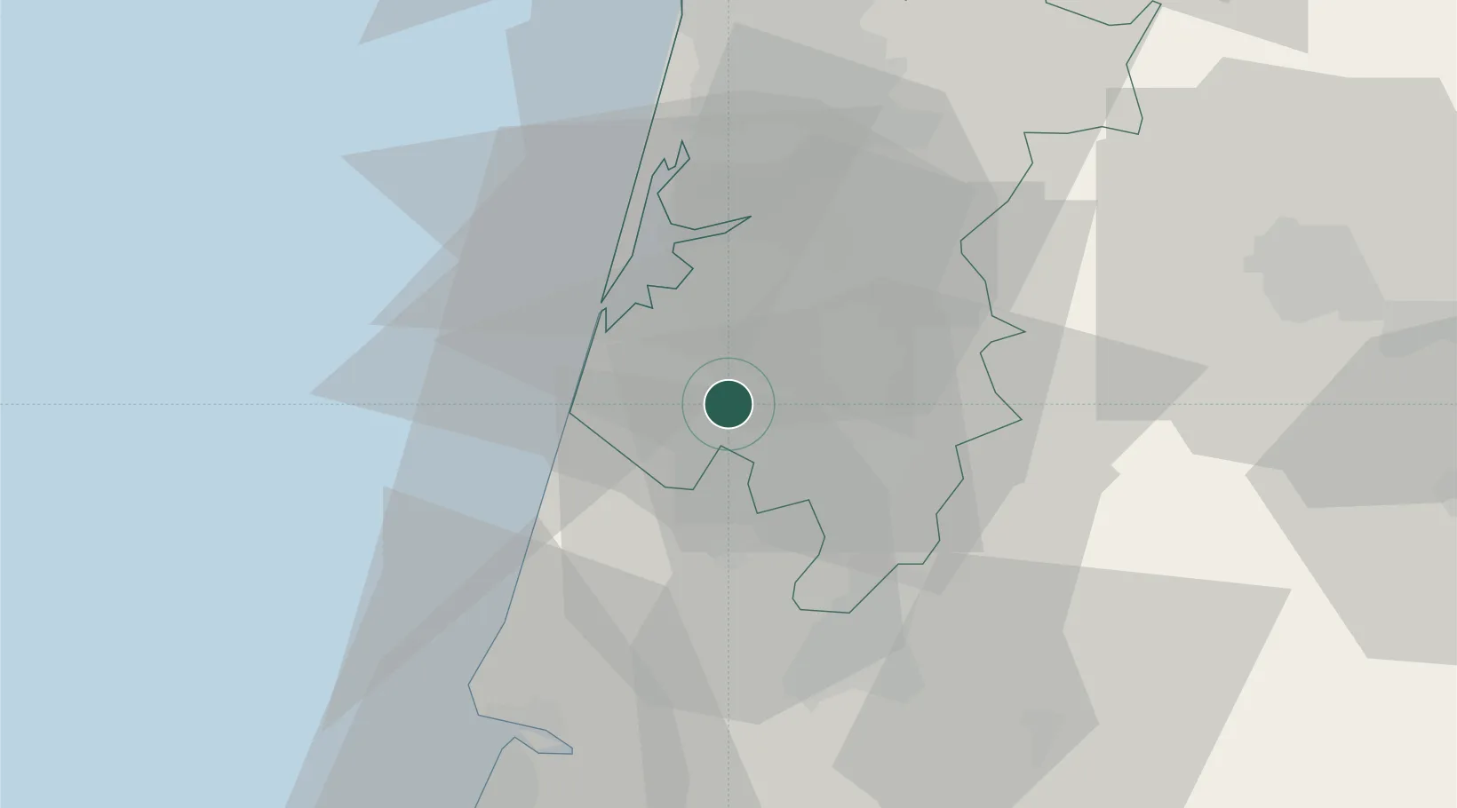
Place type
Populated place
Region
Aveiro
Population
1,418
Time zone
Europe/Lisbon
Elevation
59 m
Location
Nearby Logistics Neighbours
Cities
- 1Bustos4 km
- 2Amoreira da Gândara8 km
- 3Aveiro12 km
- 4Vagueira13 km
- 5Águeda13 km
Ports
- 1Aveiro14 km
- 2Figueira Da Foz48 km
- 3Oporto69 km
- 4Porto De Leixoes73 km
- 5Viana Do Castelo131 km
Airports
Trade Zones
- 1VGP Park Santa Maria da Feira44 km
- 2Zona Livre Tecnológica Masotinhos72 km
- 3Zona Franca de Vigo189 km
- 4Depósito Franco de La Coruña315 km
- 5Puerto de Huelva391 km
DatabookThe Record of Consolidated Knowledge
Portugal beyond logistics?