Transport Functions
Port
Hub Profile
Place type
Populated place
Region
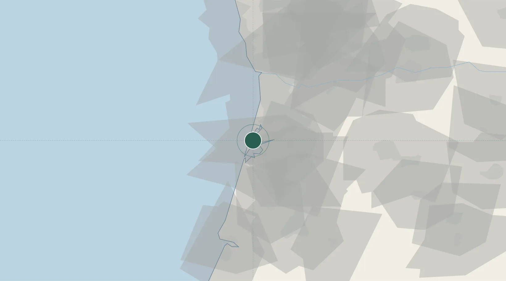
Aveiro
Time zone
Europe/Lisbon
Elevation
4 m
Location
Nearby Logistics Neighbours
Cities
- 1Estarreja11 km
- 2Cacia12 km
- 3Gafanha da Nazaré13 km
- 4Aveiro14 km
- 5Ovar14 km
Ports
- 1Aveiro12 km
- 2Oporto45 km
- 3Porto De Leixoes48 km
- 4Figueira Da Foz68 km
- 5Viana Do Castelo106 km
Airports
Trade Zones
DatabookThe Record of Consolidated Knowledge
Portugal beyond logistics?