Transport Functions
Rail
Road
Hub Profile
Place type
Provincial seat
Region
Aveiro
Time zone
Europe/Lisbon
Elevation
23 m
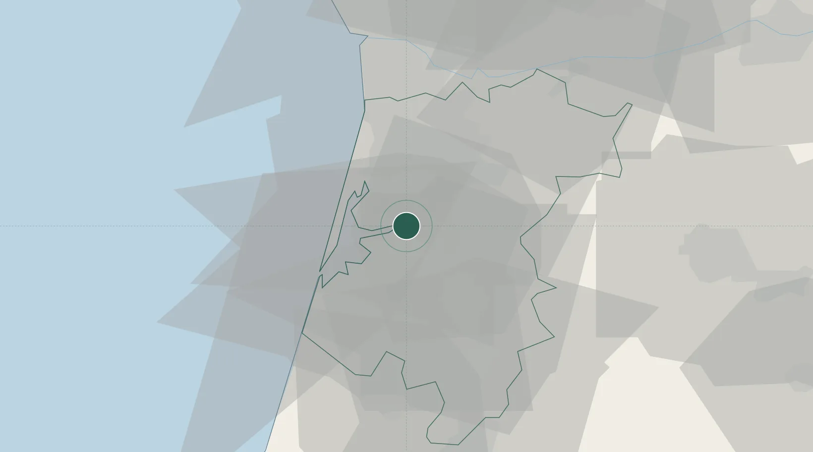
Location
Nearby Logistics Neighbours
Cities
- 1Branca7 km
- 2Albergaria-a-Velha9 km
- 3Torreira11 km
- 4Oliveira de Azemeis12 km
- 5Ovar14 km
Ports
- 1Aveiro13 km
- 2Oporto45 km
- 3Porto De Leixoes50 km
- 4Figueira Da Foz71 km
- 5Viana Do Castelo108 km
Airports
Trade Zones
DatabookThe Record of Consolidated Knowledge
Portugal beyond logistics?