Transport Functions
Road
Multimodal
Hub Profile
Place type
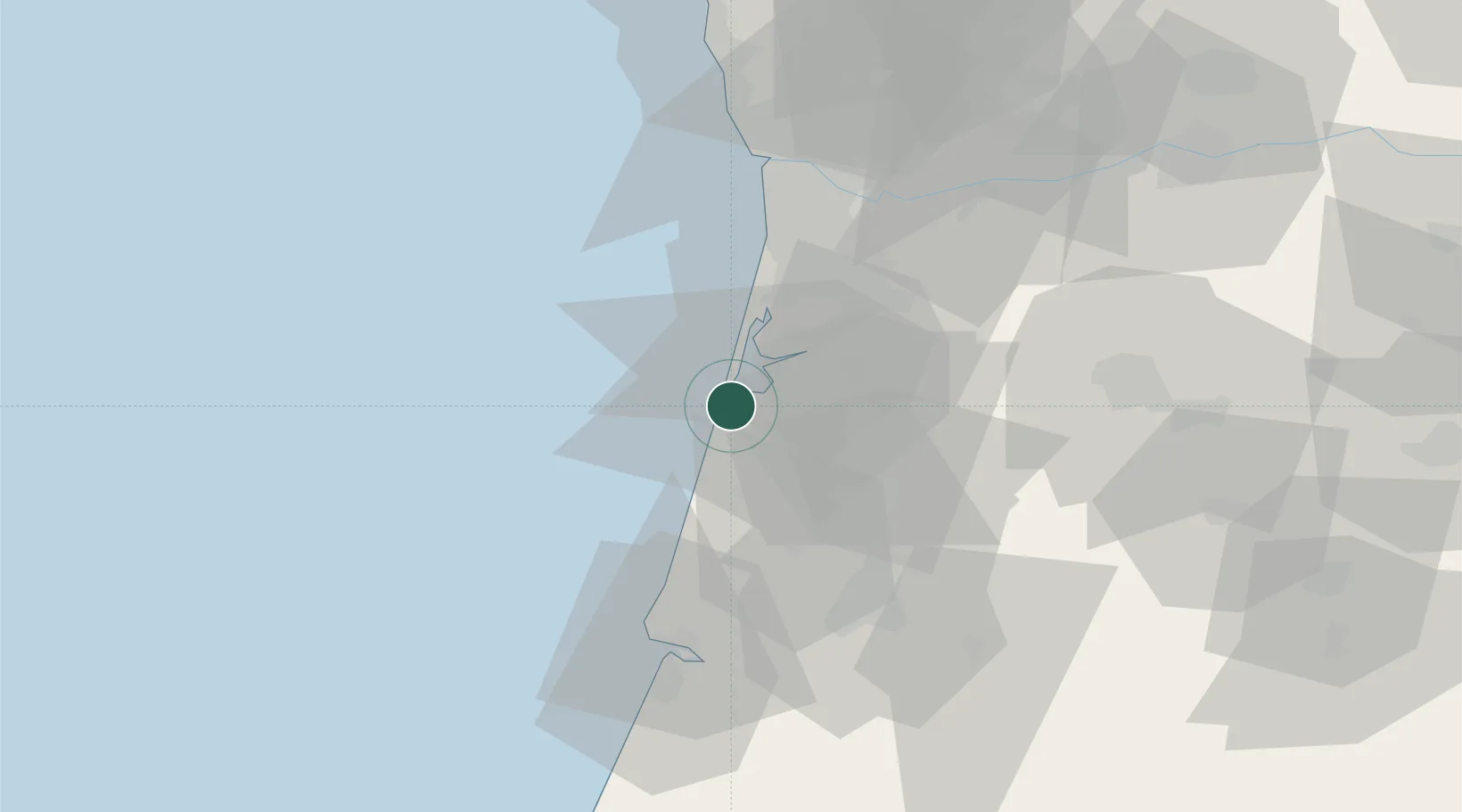
Populated place
Region
Aveiro
Population
6,830
Time zone
Europe/Lisbon
Elevation
16 m
Logistics facilities
1
Location
Nearby Logistics Neighbours
Cities
- 1Gafanha da Nazaré2 km
- 2Aveiro7 km
- 3Vagueira11 km
- 4Torreira12 km
- 5Canas de Santa Maria15 km
Ports
- 1Aveiro7 km
- 2Figueira Da Foz56 km
- 3Oporto57 km
- 4Porto De Leixoes60 km
- 5Viana Do Castelo118 km
Airports
Trade Zones
- 1VGP Park Santa Maria da Feira35 km
- 2Zona Livre Tecnológica Masotinhos59 km
- 3Zona Franca de Vigo176 km
- 4Depósito Franco de La Coruña303 km
- 5Puerto de Huelva406 km
DatabookThe Record of Consolidated Knowledge
Portugal beyond logistics?