Transport Functions
Port
Rail
Road
Hub Profile
Place type
Regional capital
Region
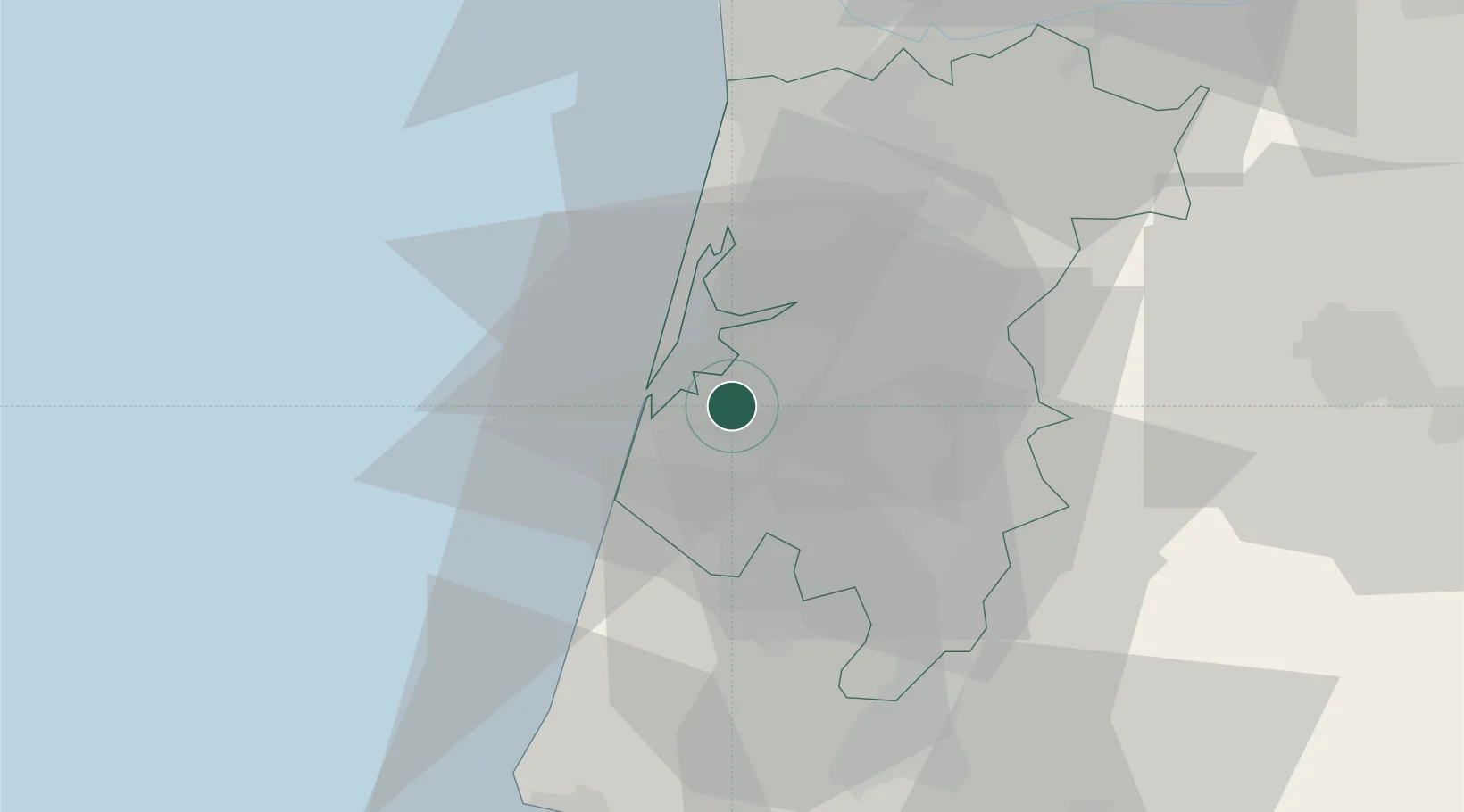
Aveiro
Population
80,880
Time zone
Europe/Lisbon
Elevation
19 m
Location
Nearby Logistics Neighbours
Cities
- 1Gafanha da Nazaré6 km
- 2Cacia7 km
- 3Nariz12 km
- 4Vagueira13 km
- 5Torreira14 km
Ports
- 1Figueira Da Foz56 km
- 2Oporto58 km
- 3Porto De Leixoes61 km
- 4Viana Do Castelo120 km
- 5Vigo178 km
Airports
Trade Zones
- 1VGP Park Santa Maria da Feira34 km
- 2Zona Livre Tecnológica Masotinhos60 km
- 3Zona Franca de Vigo178 km
- 4Depósito Franco de La Coruña304 km
- 5Puerto de Huelva403 km
DatabookThe Record of Consolidated Knowledge
Portugal beyond logistics?