Transport Functions
Rail
Road
Hub Profile
Place type
Populated place
Region
West Pomerania
Time zone
Europe/Warsaw
Elevation
3 m
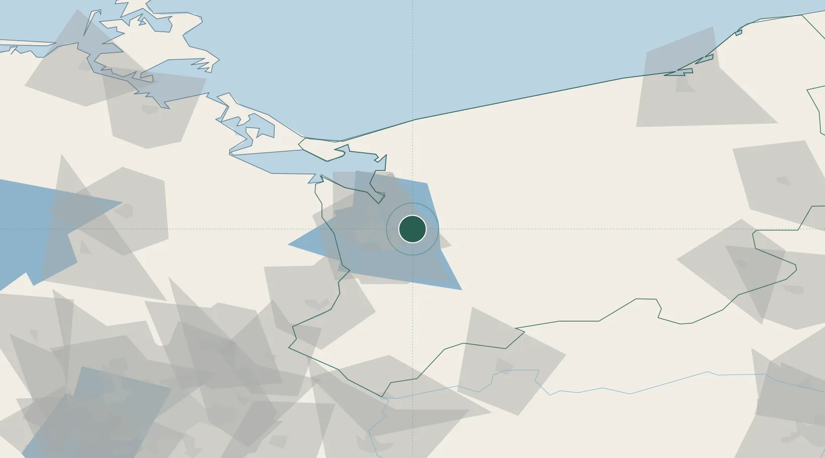
Location
Nearby Logistics Neighbours
Cities
- 1Skolwin11 km
- 2Szczecin13 km
- 3Stare Czarnowo20 km
- 4Stargard22 km
- 5Stepnica23 km
Ports
- 1Szczecin15 km
- 2Police17 km
- 3Swinoujscie60 km
- 4Wolgast92 km
- 5Kolobrzeg98 km
Airports
Trade Zones
- 1Szczecin Duty Free Zone14 km
- 2Swinoujscie Duty Free Zone58 km
- 3Kostrzyń-Słubice SEZ97 km
- 4Słupsk SEZ (Słupska SSE)185 km
- 5Legnica SEZ (Legnicka SSE)256 km
DatabookThe Record of Consolidated Knowledge
Poland beyond logistics?