UN/LOCODE hub · Poland
PLSZZ
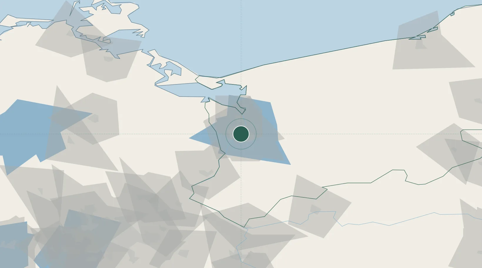
Szczecin
53.4234°, 14.5817°
395,513
Population
3
Transport functions
1
Container terminals
Transport Functions
Port
Airport
Postal
Hub Profile
Place type
Regional capital
Region
West Pomerania
Population
395,513
Time zone
Europe/Warsaw
Elevation
149 m
Logistics facilities
2
Container terminals
1
Location
Nearby Logistics Neighbours
Cities
- 1Skolwin7 km
- 2Kliniska Wielkie13 km
- 3Grambow17 km
- 4Bismark18 km
- 5Gardno20 km
Ports
- 1Police16 km
- 2Swinoujscie59 km
- 3Wolgast87 km
- 4Kolobrzeg109 km
- 5Sassnitz136 km
Airports
Trade Zones
- 1Szczecin Duty Free Zone1 km
- 2Swinoujscie Duty Free Zone56 km
- 3Kostrzyń-Słubice SEZ92 km
- 4Słupsk SEZ (Słupska SSE)198 km
- 5Legnica SEZ (Legnicka SSE)255 km
DatabookThe Record of Consolidated Knowledge
Poland beyond logistics?