Transport Functions
Port
Hub Profile
Place type
Urban district
Region
West Pomerania
Time zone
Europe/Warsaw
Elevation
2 m
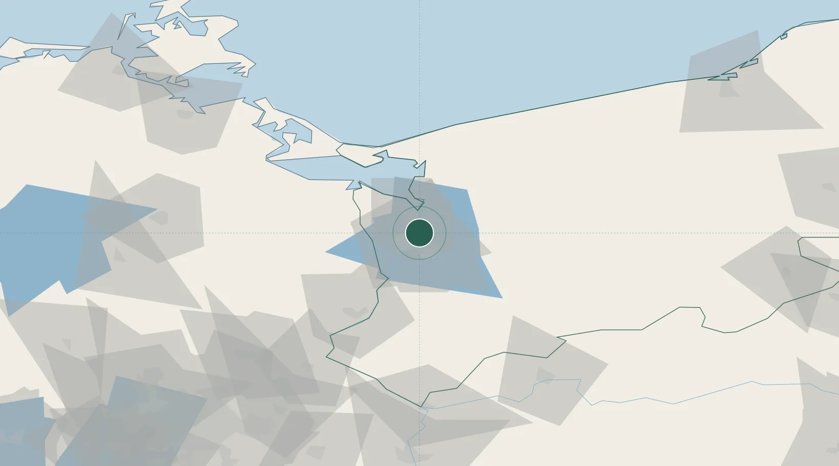
Location
Nearby Logistics Neighbours
Cities
- 1Szczecin7 km
- 2Kliniska Wielkie11 km
- 3Stepnica19 km
- 4Bismark19 km
- 5Grambow19 km
Ports
- 1Szczecin8 km
- 2Police10 km
- 3Swinoujscie53 km
- 4Wolgast83 km
- 5Kolobrzeg103 km
Airports
Trade Zones
DatabookThe Record of Consolidated Knowledge
Poland beyond logistics?