Transport Functions
Rail
Road
Hub Profile
Place type
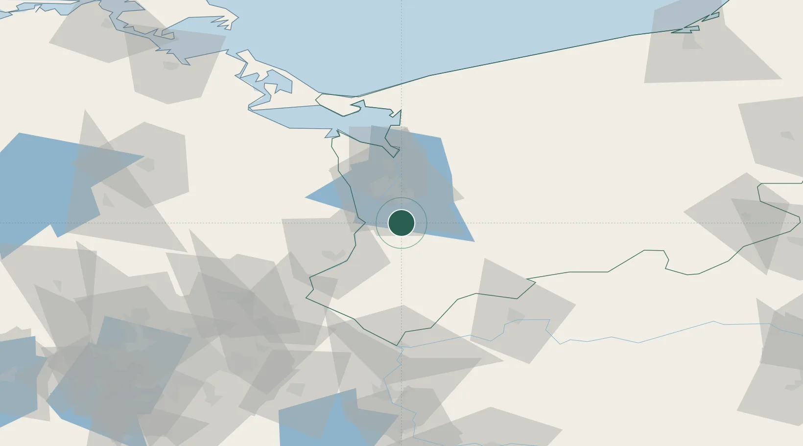
Populated place
Region
West Pomerania
Time zone
Europe/Warsaw
Elevation
35 m
Location
Nearby Logistics Neighbours
Cities
- 1Gryfino10 km
- 2Stare Czarnowo11 km
- 3Mescherin13 km
- 4Gartz18 km
- 5Szczecin20 km
Ports
- 1Szczecin19 km
- 2Police36 km
- 3Swinoujscie78 km
- 4Wolgast105 km
- 5Kolobrzeg123 km
Airports
Trade Zones
- 1Szczecin Duty Free Zone19 km
- 2Kostrzyń-Słubice SEZ73 km
- 3Swinoujscie Duty Free Zone76 km
- 4Słupsk SEZ (Słupska SSE)207 km
- 5Legnica SEZ (Legnicka SSE)236 km
DatabookThe Record of Consolidated Knowledge
Poland beyond logistics?