Transport Functions
Rail
Road
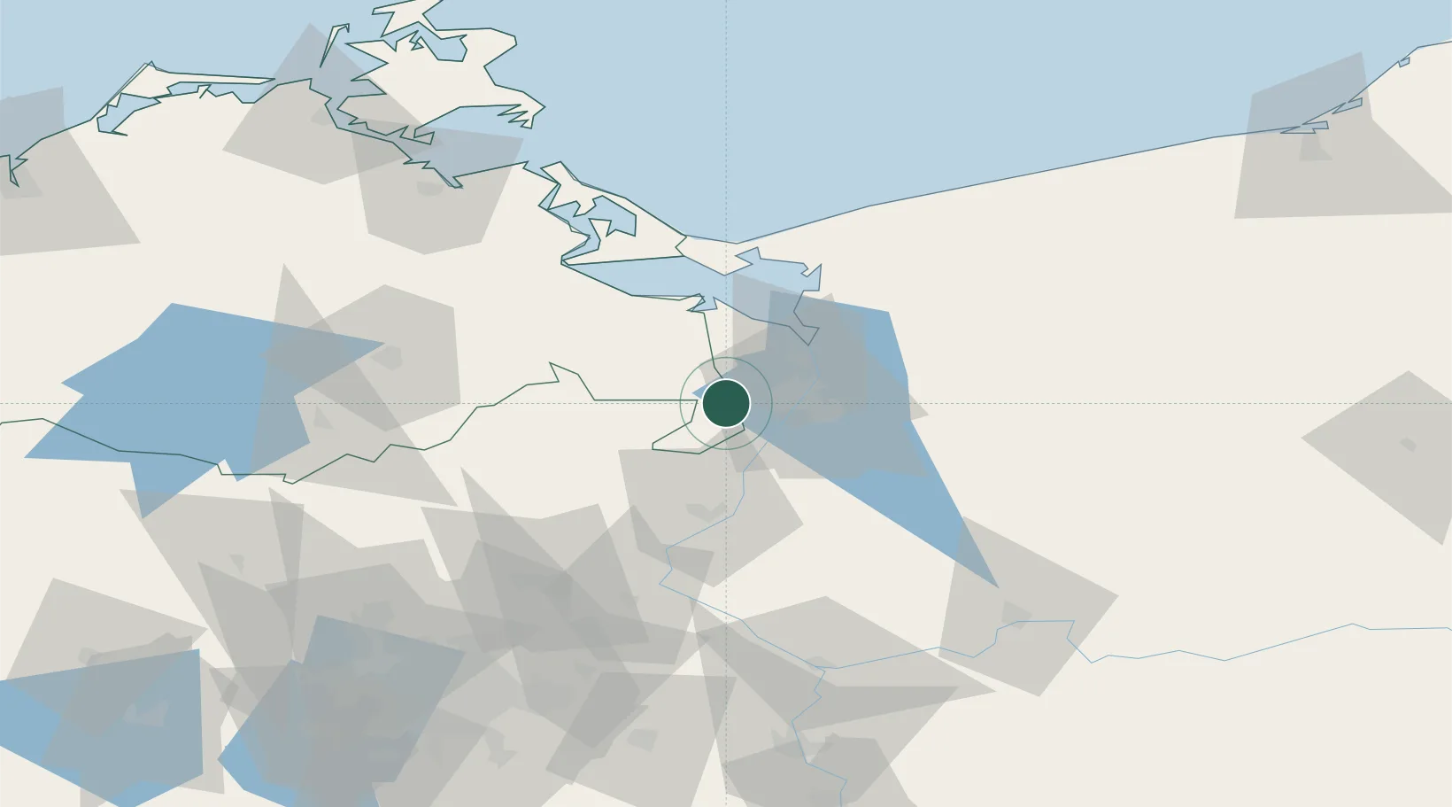
Hub Profile
Place type
Populated place
Region
Mecklenburg-Vorpommern
Population
957
Time zone
Europe/Berlin
Elevation
38 m
Location
Nearby Logistics Neighbours
Cities
- 1Bismark4 km
- 2Rothenklempenow14 km
- 3Szczecin17 km
- 4Tantow17 km
- 5Skolwin19 km
Ports
- 1Szczecin14 km
- 2Police23 km
- 3Swinoujscie56 km
- 4Wolgast79 km
- 5Kolobrzeg120 km
Airports
Trade Zones
- 1Szczecin Duty Free Zone16 km
- 2Swinoujscie Duty Free Zone54 km
- 3Kostrzyń-Słubice SEZ94 km
- 4Słupsk SEZ (Słupska SSE)211 km
- 5MTS Malmö Transport and Spedition256 km
DatabookThe Record of Consolidated Knowledge
Germany beyond logistics?