Transport Functions
Port
Road
Hub Profile
Place type
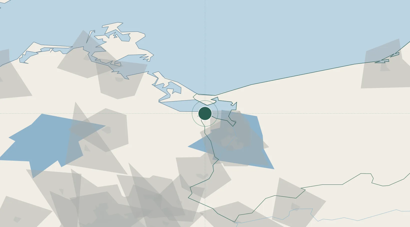
District seat
Region
West Pomerania
Population
1,200
Time zone
Europe/Warsaw
Elevation
2 m
Location
Nearby Logistics Neighbours
Cities
- 1Ahlbeck10 km
- 2Karsibór13 km
- 3Eggesin15 km
- 4Ueckermünde16 km
- 5Trzebiez17 km
Ports
- 1Swinoujscie21 km
- 2Police26 km
- 3Szczecin39 km
- 4Wolgast49 km
- 5Sassnitz97 km
Airports
Trade Zones
- 1Swinoujscie Duty Free Zone18 km
- 2Szczecin Duty Free Zone39 km
- 3Kostrzyń-Słubice SEZ129 km
- 4Słupsk SEZ (Słupska SSE)196 km
- 5MTS Malmö Transport and Spedition222 km
DatabookThe Record of Consolidated Knowledge
Poland beyond logistics?