Transport Functions
Port
Rail
Road
Hub Profile
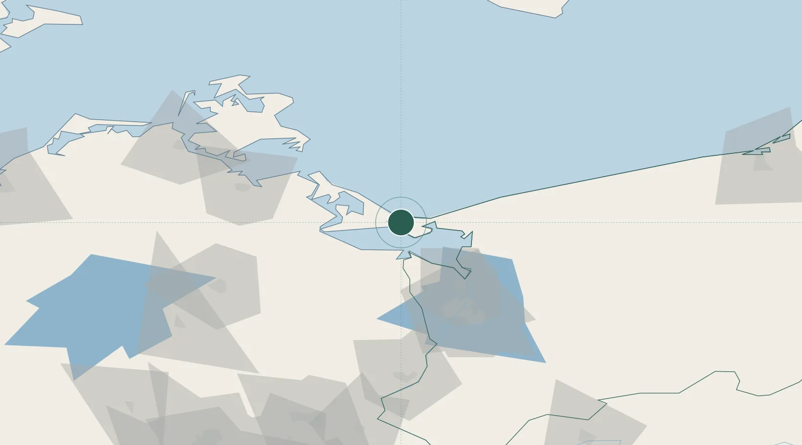
Place type
Provincial seat
Region
West Pomerania
Population
40,919
Time zone
Europe/Warsaw
Elevation
4 m
Location
Nearby Logistics Neighbours
Cities
- 1Karsibór7 km
- 2Miedzyzdroje14 km
- 3Nowe Warpno19 km
- 4Grambin21 km
- 5Usedom22 km
Airports
Trade Zones
- 1Swinoujscie Duty Free Zone2 km
- 2Szczecin Duty Free Zone57 km
- 3Kostrzyń-Słubice SEZ147 km
- 4Słupsk SEZ (Słupska SSE)191 km
- 5MTS Malmö Transport and Spedition204 km
DatabookThe Record of Consolidated Knowledge
Poland beyond logistics?