Transport Functions
Port
Road
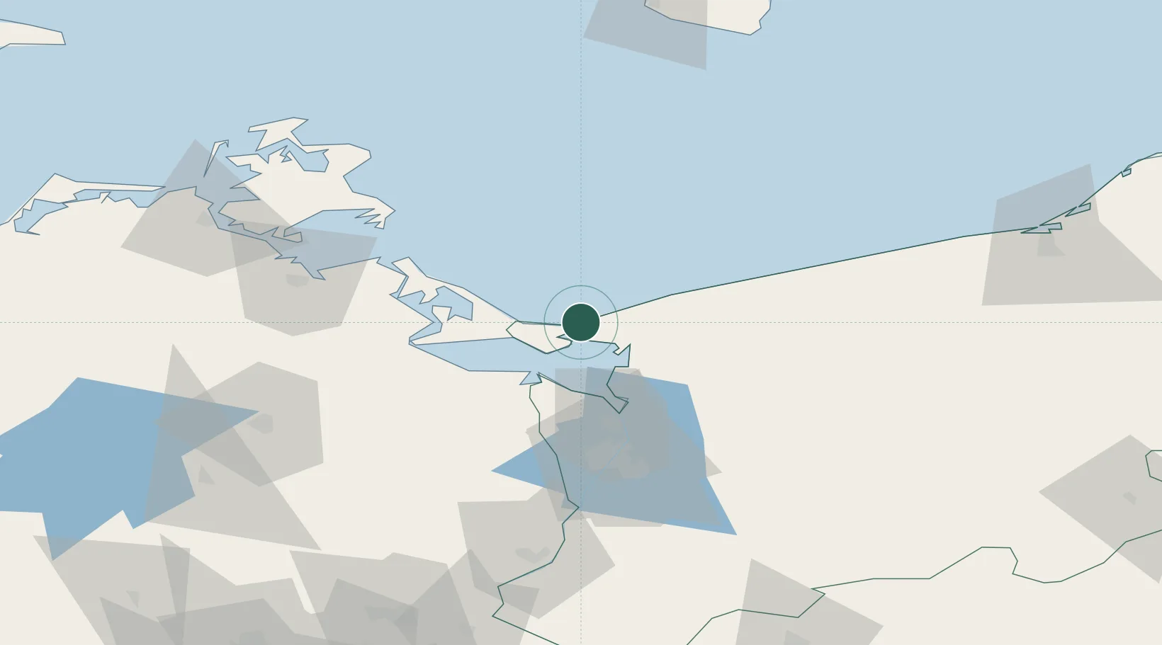
Hub Profile
Place type
District seat
Region
West Pomerania
Population
5,502
Time zone
Europe/Warsaw
Elevation
6 m
Location
Nearby Logistics Neighbours
Cities
- 1Karsibór14 km
- 2Swinoujscie14 km
- 3Wolin14 km
- 4Kamien Pomorski21 km
- 5Dziwnow23 km
Ports
- 1Swinoujscie12 km
- 2Police42 km
- 3Wolgast46 km
- 4Szczecin58 km
- 5Kolobrzeg78 km
Airports
Trade Zones
- 1Swinoujscie Duty Free Zone12 km
- 2Szczecin Duty Free Zone58 km
- 3Kostrzyń-Słubice SEZ149 km
- 4Słupsk SEZ (Słupska SSE)178 km
- 5MTS Malmö Transport and Spedition205 km
DatabookThe Record of Consolidated Knowledge
Poland beyond logistics?